Colin Glen Circuit

Colin Glen 1There is little doubt about the benefits of walking for both mind and body.  Colin Glen is easily accessible from Belfast city centre and boasts a whole range of walks from a short stroll on a well-marked path to an all day trek across the hills.

http://www.walkni.com/walks/81/colin-glen/
Colin Glen 6

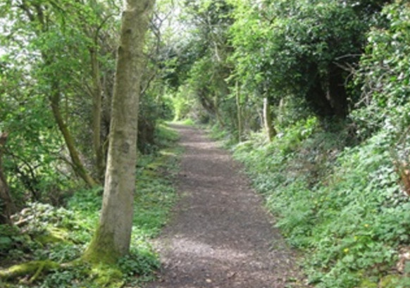
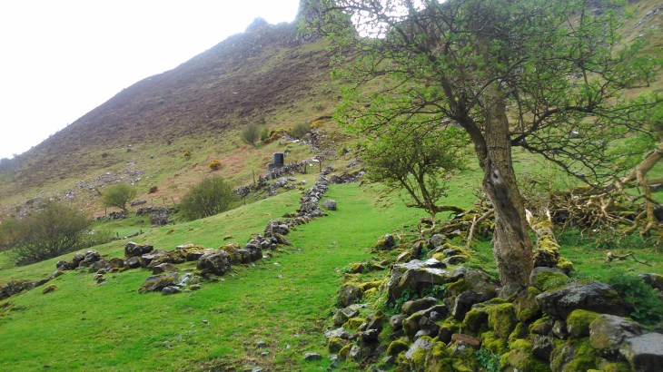
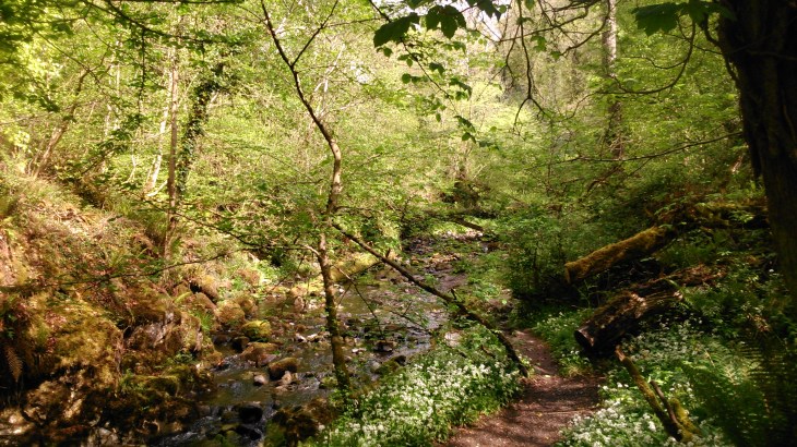
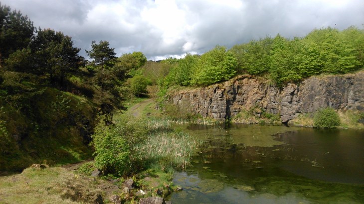
On Sunday, we started at the Colin Glen Centre and car park, 163 Stewartstown Road, Dunmurry. We followed the river to the point where it crosses under the Glen Road and then onward to the disused quarry.  At this point, you can head for the aerials on Divis and Black mountain and even make it an all day walk as far as Cave Hill.
Colin Glen 5

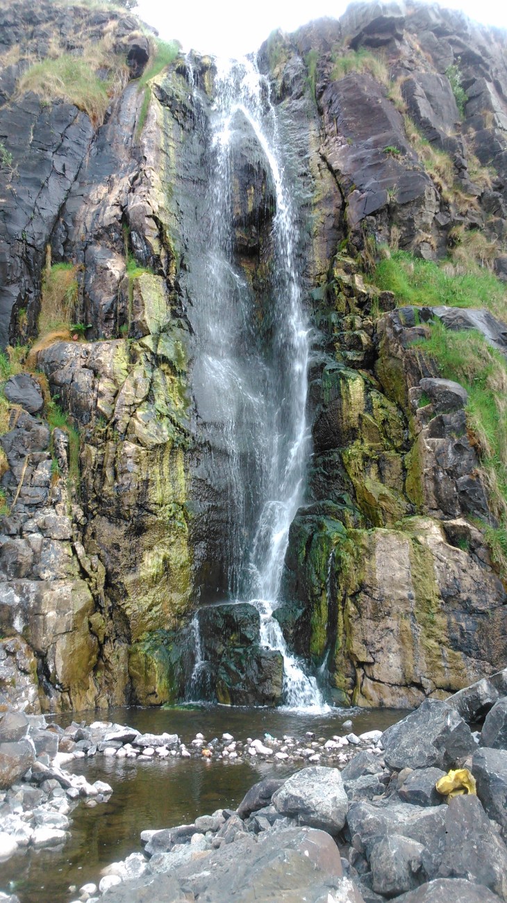
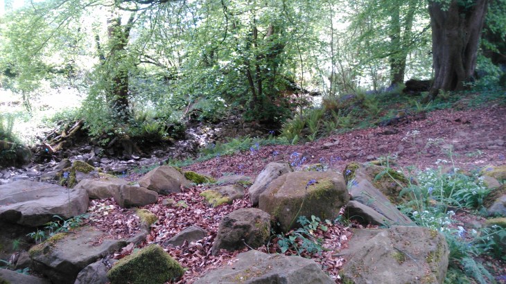
However, that is a walk we intend to enjoy later in the summer.  On this occasion, we followed the track to the left and it brought us to the waterfall, locally known as the ‘Rumble Hole’.  This is quite spectacular, but the immediate surroundings could do with
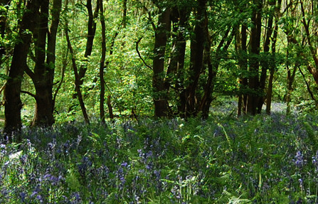
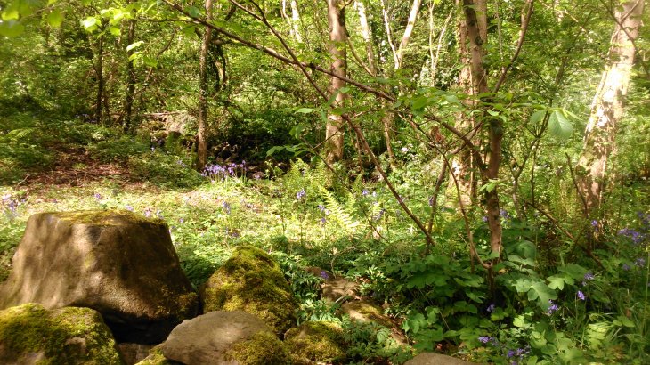
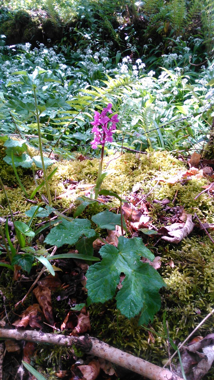
Colin Glen 2a cleanup.  We then followed a track on the other side of the glen through a sea of bluebells and even the occasional orchid to reach the mass rock.  This route does involve
Colin Glen 4

some scrambling but it is well worth it, the mass rock is in a beautiful shady place, perfect for a bite of lunch.  From here, we made our way back through Colin Glen to the car park.
Colin Glen 3

The Most Stunning Views in the World – Dunseverick to Giant’s Causeway

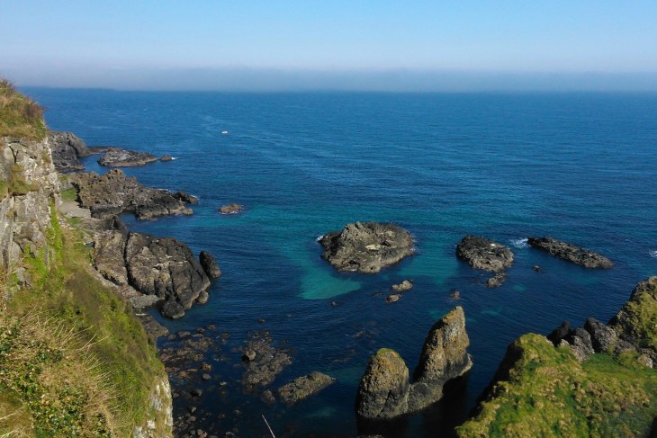
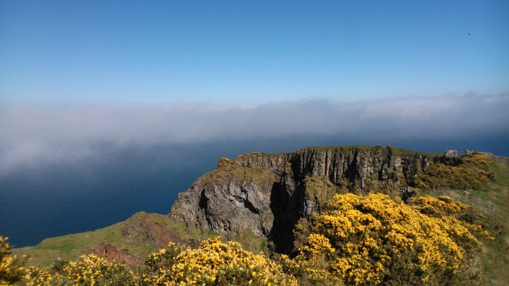
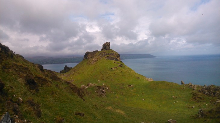
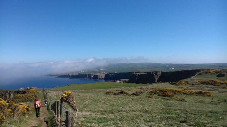
Dunsev1When the weather is good, as it was yesterday, this walk must have some of the most stunning views on the planet.  It is 16 kilometres there and back and I would classify it as easy to moderate as there are some steep stone steps.    For more information, a map and statistics go to https://www.wikiloc.com/wikiloc/view.do?id=17627538
Dunsev2

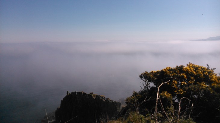
We started at the car park at the ruins of Dunseverick castle and followed the grassy track to the left as far as the Giant’s Causeway and then back again.  The views were equally amazing in both directions.  We not only had full sun but a sea mist rolled in from time to time and gave us a wonderful display of meteorological effects.

Dunsev3

Dunsev4

Comber Greenway

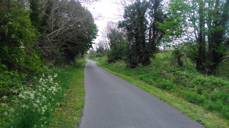
Yesterday we walked part of the Comber Greenway.  The Greenway is a 7mile traffic-free section of the National Cycle Route running from Belfast to Comber along the old railway line which closed in 1950.  The traffic-free walking and cycling route begins in Dee Street in East Belfast and from the Holywood Arches to the Comber Road it provides a delightful green finger through that part of the city.

Comber1

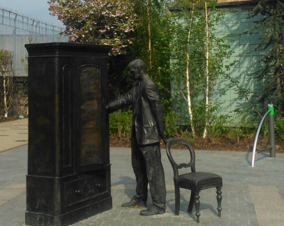
We started at C S Lewis Square, the old Hollywood Arches where the Newtownards and Holywood Roads meet.  The first few hundred metres were disappointing as we had to negotiate the makings of this year’s bonfire.  However, once past this point, the Greenway is very well maintained and broad enough to accommodate walkers, cyclists and dogs.

Comber2

We intend to continue walking the Greenway as far as Comber.  It is also possible to start in the city centre and to reach C S Lewis Square via the very beautiful Victoria Park.  However, these are both walks for another day.

For a map and statistics go to

https://www.wikiloc.com/wikiloc/spatialArtifacts.do

http://www.walkni.com/walks/432/comber-greenway/

Comber3


Carnmoney Circuit

Carnmoney Hill 5

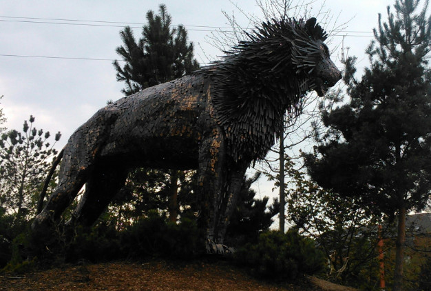
Carnmoney (from Irish Carn Monaidh, meaning ‘cairn of the bog’) has a wealth of history and is a honey pot of wildlife with grassland, wetland, wildflower meadows and ancient woodland.

Carnmomey 4

We walked Carnmoney Hill last Sunday and it turned out to be a bit of a gem.  For a map and statistics go to  https://www.wikiloc.com/wikiloc/view.do?id=17385503

https://www.wikiloc.com/wikiloc/view.do?id=17385503

Carnmoney Hill 1

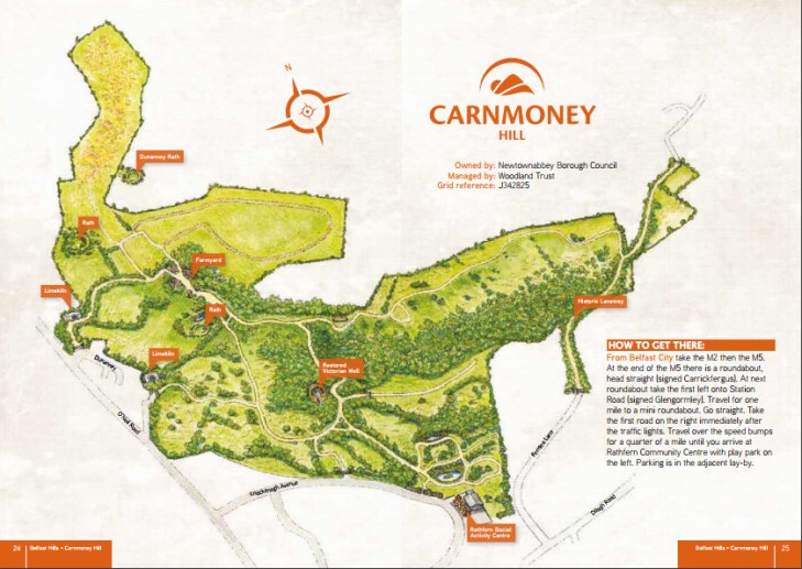
This 203-acre site is home to badgers, foxes and Irish Hare has an abundance of ancient features including a network of prehistoric engineered, underground tunnels called souterrains.  Dunanney Rath is here and the remains of Victorian limekilns and a water well.

Dunanney is an early Christian rath, or fortified settlement and provides evidence of human habitation on the hill some 1,200 years ago.   As you stand at the rath it is difficult to appreciate this span of time but just imagine a group of people, 1,200 years into the future, standing and gazing at the remains of where you lived – it helps to get you into the zone.  In ancient times, fairs and festivals were held at Dunanney, with wonderful views over Belfast Lough. The fort may date to Celtic times (around 500 BC). There are several other raths that exist in and around Carnmoney Hill.

Carnmoney 3

There are three walking routes ranging in difficulty and well sign posted. I would consider them easy for an experienced walker.  If you click the link to Wikiloc you will see that we followed part of the blue route but then had a wander around.

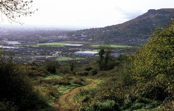
On Carnmoney Hill you are never far from the city but it is a beautiful spot to enjoy a short walk. For more information go to

http://belfasthills.org/visiting/carnmoney/

Galboly-The Hidden Village

Galboly 2

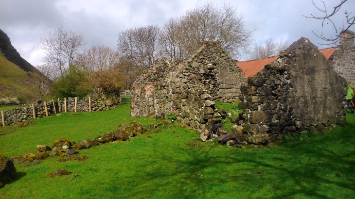
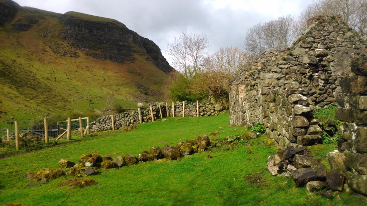
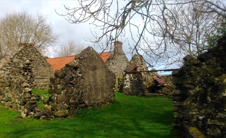
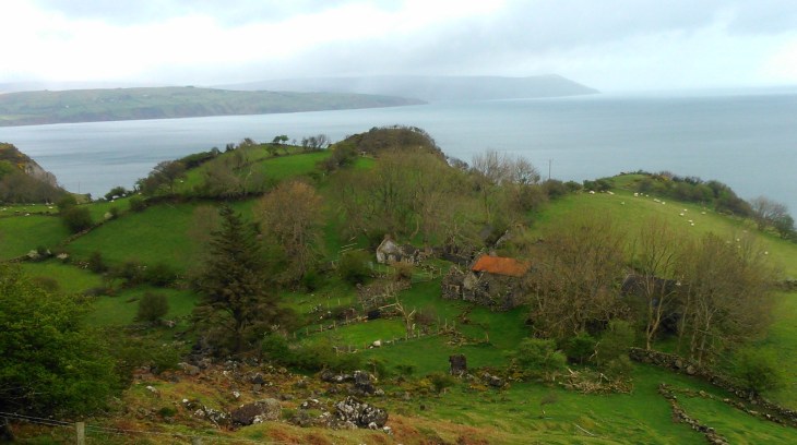
Today, Easter Sunday, we visited Galboly, the hidden village.  It is not only a place of peace and great charm well off the beaten track but also one of the few remaining examples of an Irish clachan from more than a hundred years ago.

Galboly1

Nowadays, the houses are in ruins bar one which is occupied by a hermit monk. However, the village in its stunning, romantic setting is dripping with atmosphere,  it is not difficult to time travel.

Galboly 3

Just over a century ago, Galboly was on the main road which hugged the Antrim cliffs. However, in 1846-47 came the Coast Road more or less as we know it today.  The construction of this new road relieved the Famine but it cut Galboly off from the rest of the world, leaving the village high and dry.

Galboly 4

According to the population censuses of 1841, there were sixty inhabitants.  This had dropped to six by 1951 and to only one today.  However, it remains a truly remarkable place.

Galboly 5

Galboly 6