Dan Dowling is an artist who works both in oils and watercolour. He tries to live his art and draws his inspiration from his own life experience, his native north Belfast, walking and the philosophy of walking, Irish and Spanish language and culture, blogging and social media.
Dan Dowling (b. 1954, Belfast) is an Irish painter whose work engages with the dynamics of contemporary life through figurative imagery rooted in observation and memory. Educated at St Mary’s Grammar School, Belfast, he has developed a practice informed by his native city, his travels in Spain, and long-distance walking, including the Camino de Santiago. He exhibits regularly at the Royal Ulster Academy and the Royal Hibernian Academy annual exhibitions, and has served as President of the Royal Ulster Academy of Arts since 2021.
Big Daddy’s Funeral is an early work that reflects Dowling’s enduring interest in the passage of time and the structures that shape everyday experience. Set on Donegall Street in Belfast, the painting presents a constructed urban scene in which observed detail is interwoven with symbolic suggestion. The presence of St Patrick’s Church and a passing funeral introduces a quiet meditation on mortality, while a double-decker bus, populated by uniform, anonymous figures, evokes the repetitive rhythms of working life. In the foreground, two loosely rendered figures and a dog suggest a contrasting sense of spontaneity and freedom. A large commercial advertisement further anchors the scene within a contemporary social and economic context.
Balancing description with implication, the work invites reflection on the tensions between individual agency and collective routine, and on the cyclical nature of daily life.
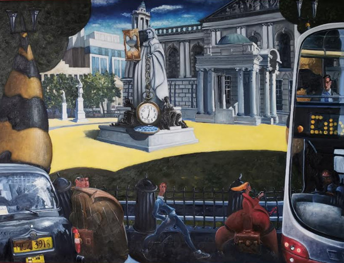
This is a new painting called “The Art of Stopping the World”. It is oil on canvas, 36X48 inches. The title comes from a recent clash with, I’m not sure if you could call it a reading of, Carlos Castaneda’s mysterious “Journey to Ixtlan”. I have used my favourite backdrop Belfast City Centre, City Hall, and employed Queen Victoria to control time with a right royal sized pocket watch and hourglass (maybe that’s another story).
The painting talks about our innate ability as human beings to fill our lives with the other, anything rather than confronting ourselves, our reality, whatever that is. The businessmen fatcats, totally consumed with their excessive getting and spending, are mutating into a two-headed hydra. The student with his headphones is immersed in the world of technology and the secretary finds her refuge in endless work. Each life dances to the tick of the clock, to the trickle of sand into the hourglass.
Many peoples lives are driven by their own personal demons. Could you imagine life as an endless bus journey driven by a clearly demonic driver, forever pressing the bell but never able or maybe never really wanting to get off? (Ditto the black taxi). Castaneda’s idea is that we stop our lives for just a moment, in a mindfulness way, to try to get a glimpse of our own reality.
I started this painting some time ago. While I was working on it a pandemic, the Coronavirus, has stopped the world and all our lives. I can only hope that something positive, no matter how small, will come out of what can only be described as a nightmare and that we can emerge as a surely battered but better society.
We started our time travelling at the Tropical Ravine in Botanic Gardens near Queen’s University. The Tropical Ravine is a celebration of our Victorian forefather’s ingenuity, their lust for travel, scientific research and collating their world. It has recently been refurbished back to better than pristine condition and is well worth a visit.
We continued our walk down Botanic Avenue and into the centre of the city to Ann Street in order to explore the entries running from Ann Street to High Street. These alleyways dating back to the 17th century are where the town of Belfast was born and first laid out. They serviced a dense residential and commercial development. We choose to walk along Joy’s Entry, originally named after Francis Joy the founder of the News Letter the oldest English language newspaper. However, the entry is now a celebration of the life and times of his grandson Henry Joy McCracken, the acknowledged hero of the 1798 rebellion.
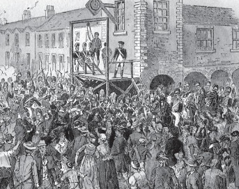
At the end of the entry, we turned left into High Street to shortly view the site of the gallows where Henry Joy was hanged. The gallows at that time was located further along Castle Place close to what is now the entrance to the Bank Buildings. However, Henry was given special attention, he was a freemason as were many of his fellow revolutionaries. The freemasons met in the Market House at the corner of High Street and Cornmarket. His gallows was erected in High Street, outside the windows of the Market House as an example to all.
Execution of Henry Joy McCracken, 17th July 1798, he was 30 years of age
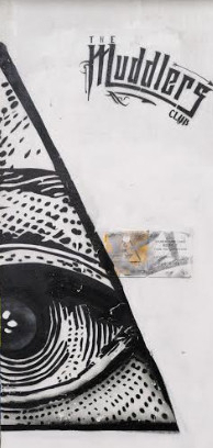
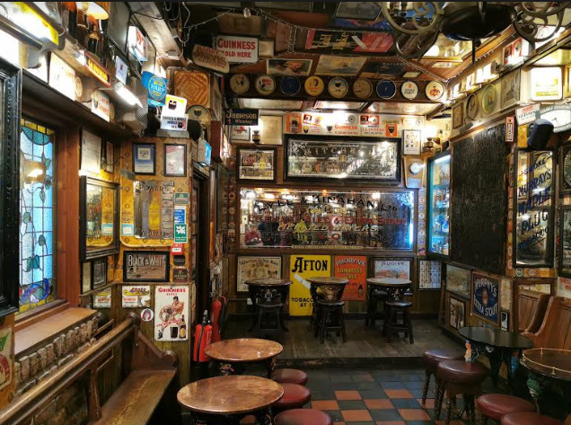
From this rather gruesome location, we crossed to Wine cellar Entry, home to White’s Tavern, a pub founded in 1630. At the end of Wine Cellar Entry, we turned right into Rosemary Street and continued across Bridge Street and into Waring Street to find, on the left, what was one of the most notorious, crime-ridden and dangerous locations in Belfast in the 19th century, Warehouse Lane. This now unprepossessing alleyway,
which was once sheltered the very poorest of society is now home to a Michelin star restaurant, the Muddlers Club. The name is a reference to the United Irish Men who held their secret meetings in the locality and the surrounding graffiti hints at masonic connections.
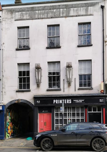
At the end of Warehouse Lane, we turned left into Exchange Place and back into Donegall Street. Here, at the entrance to Exchange Place, is a ‘plain’ looking building with a very important history.
From here we cut through Commercial Court past the fabulous Duke of York pub, turned left into Hill Street and then straight across into Exchange Street, formerly Robert Street, which runs between the back of St. Anne’s Cathedral and the new St. Anne’s Square. Belfast became a city by royal charter in 1888. Robert Street, then, was a notorious crime and poverty-ridden area and only confirmed its grim reputation by becoming the site of the first murder in the new city. The bloody deed took place just opposite the main entrance to St. Anne’s Square and for all the gory details go to “The Darker Side of Belfast’s History” by Joe Baker.
The former Robert Street, now Exchange Street, at the entrance to what is now St. Anne’s Square but then the site of bloody murder.
For some relief from murder most foul, we turned our steps to one of Belfast’s newest buildings, the MAC to be inspired not only by the interior of the building but also by the current exhibition Mark Garry’s “Songs and the Soil”.
And so ended our time-travelling through what was only a soupcon of Belfast’s rich and often dark history. But time-travelling is thirsty work and to round off the day, we returned to the fabulous Duke of York for light libations.
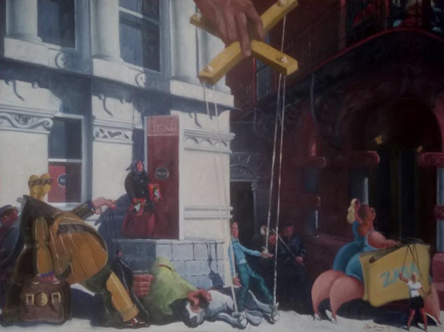
“Welcome to Puppet Town”, Oil on Canvas 36X48 inches
We live in the anthesis of interesting times, we live in strange times. It’s hard to say who is in control, who exactly is pulling the strings if anyone. Hence my latest painting “Welcome to Puppet Town”.
The backdrop is again Belfast city centre, with Tesco Metro, a multinational and the rich and private Reform Club living comfortably, cheek by jowl. A cast of characters passes by, from faceless men to ladies that lunch, controlling their own puppets. A great hand descends from above, the hand of the Grand Puppet Master, and a helpless puppet dances to the rhythm of life.
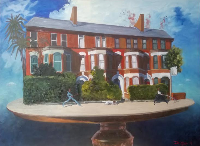
“In Our Street”, oil on canvas 36X48 inches
This second painting “In Our Street” plays with concepts of reality. It shows some houses which exist on the Antrim Road, Belfast at Chichester and a very beautiful table. The table also exists and normally lives inside one of the houses, however in a parallel universe who knows.
Both paintings will be exhibited at the Royal Ulster Academy Exhibition in the Ulster Museum, Stranmillis from October 2019.
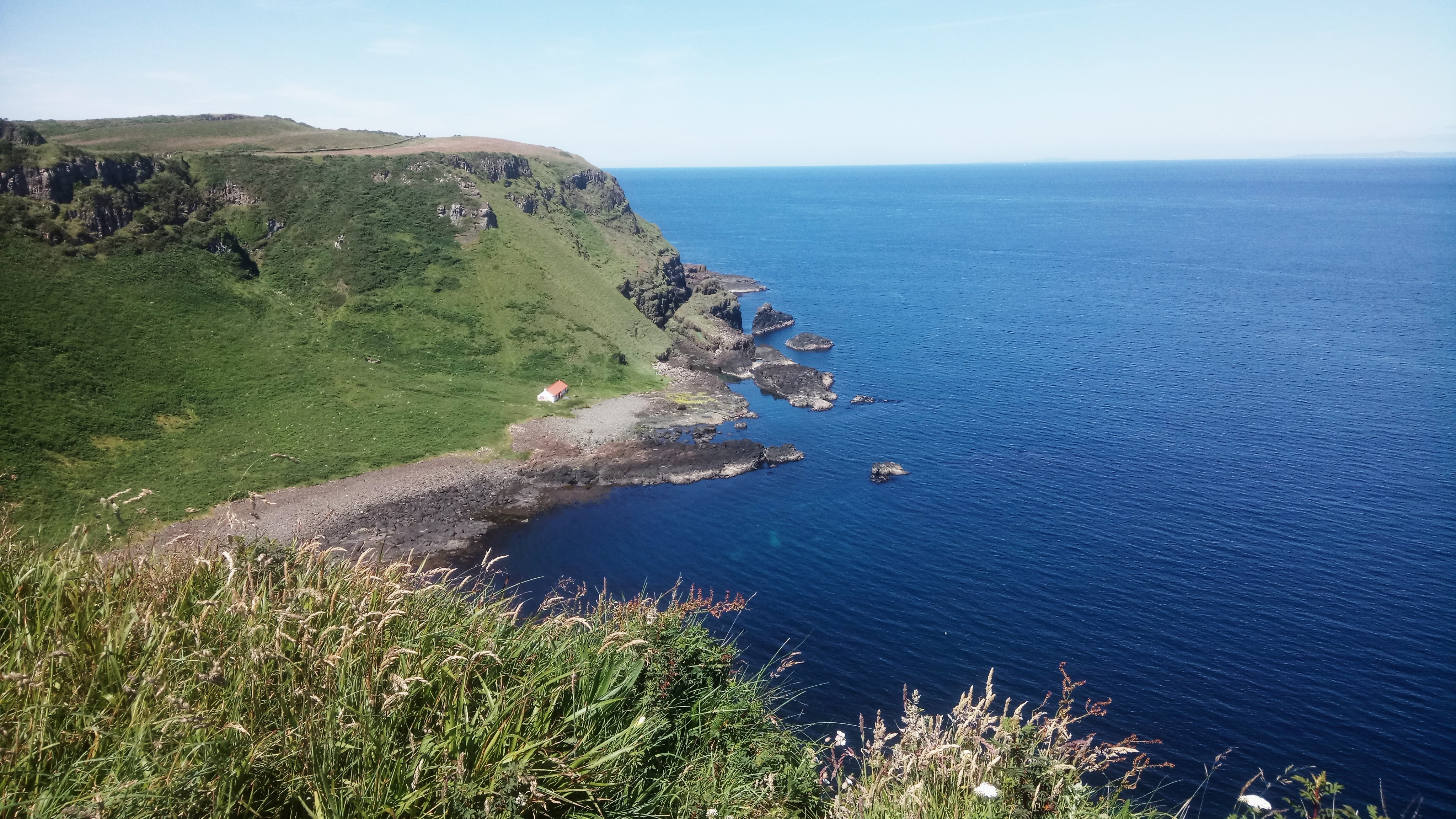
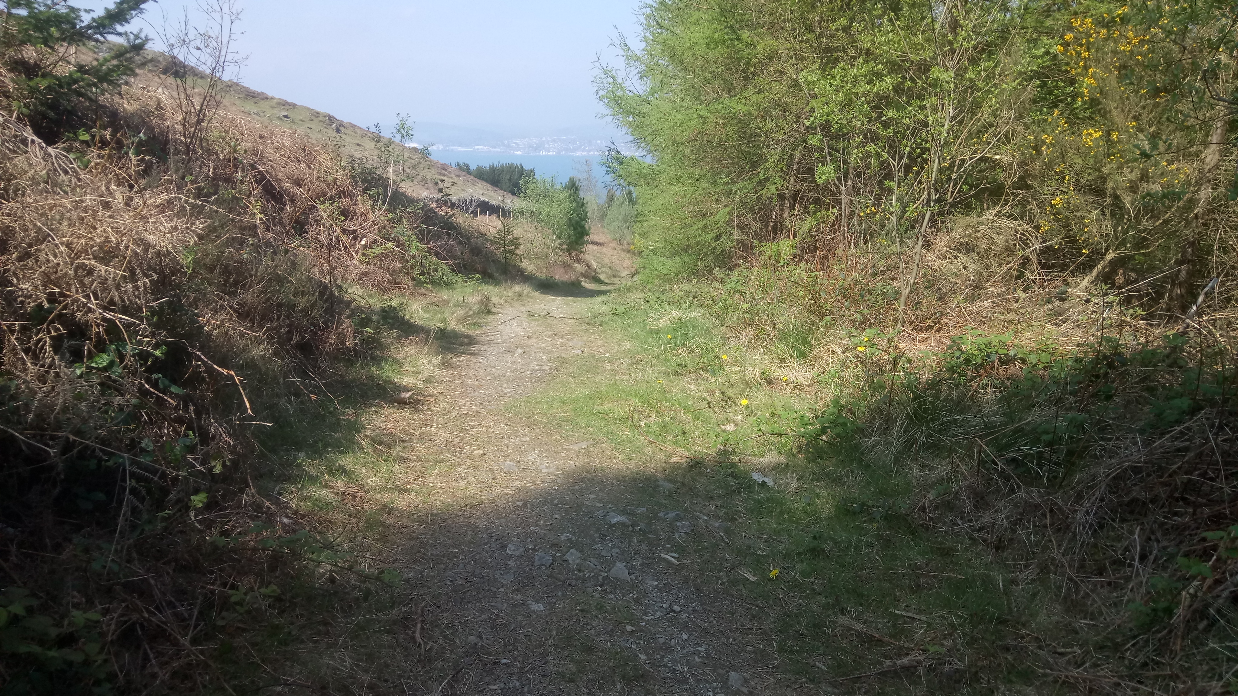
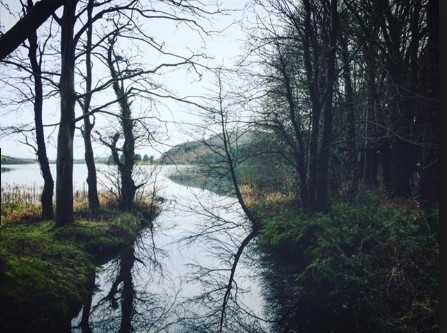
This is a stunning cliff top walk on good, well-maintained gravel paths. There are some uneven steps which could rate it moderate rather than easy. However, on a clear day, the views of Rathlin Island, Scotland, Donegal and the Giant’s Causeway must make it one of the most spectacular walks in the world. For a map, statistics and more photographs go to https://www.wikiloc.com/hiking-trails/dunseverick-to-giants-causeway-and-back-38682347
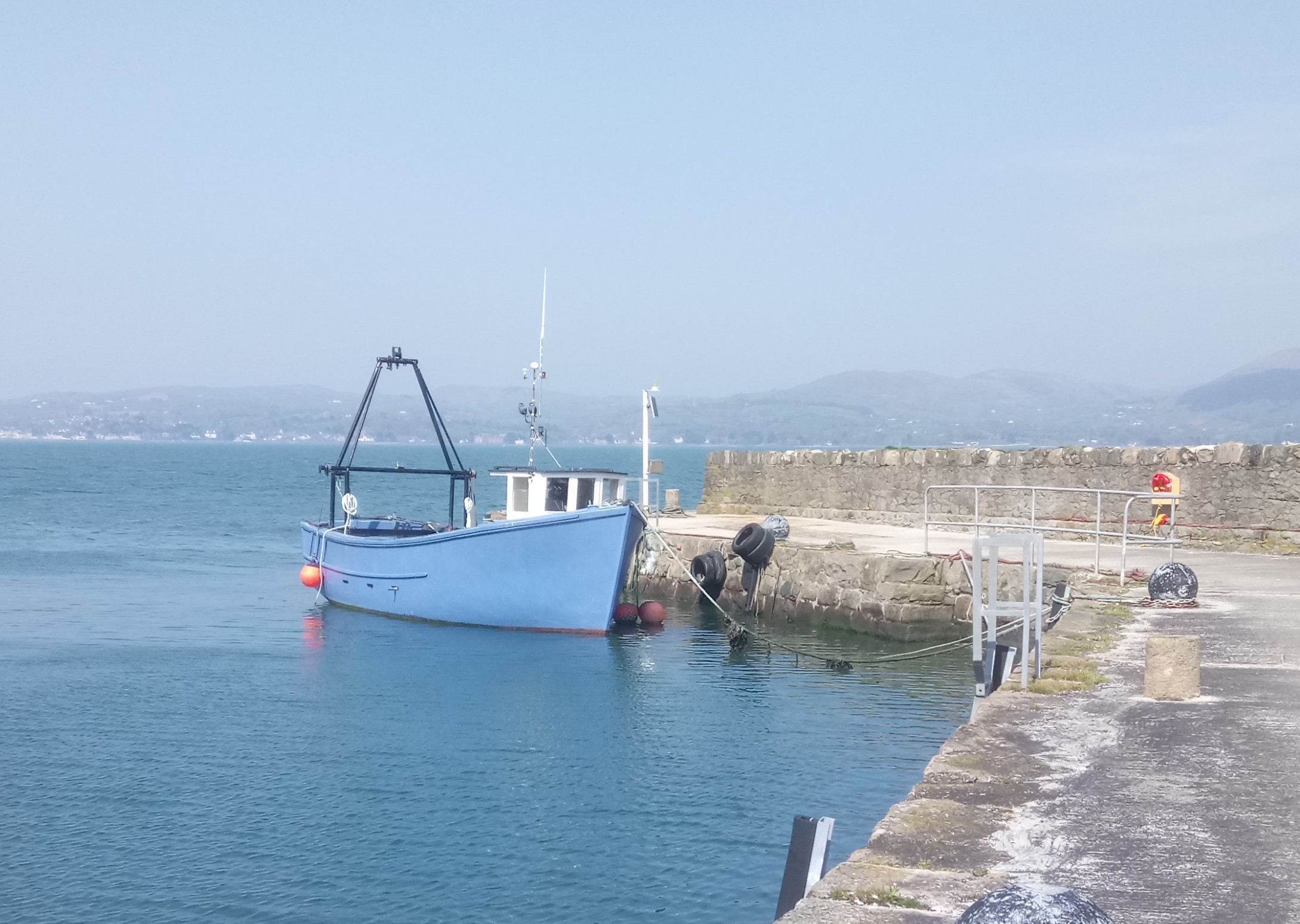
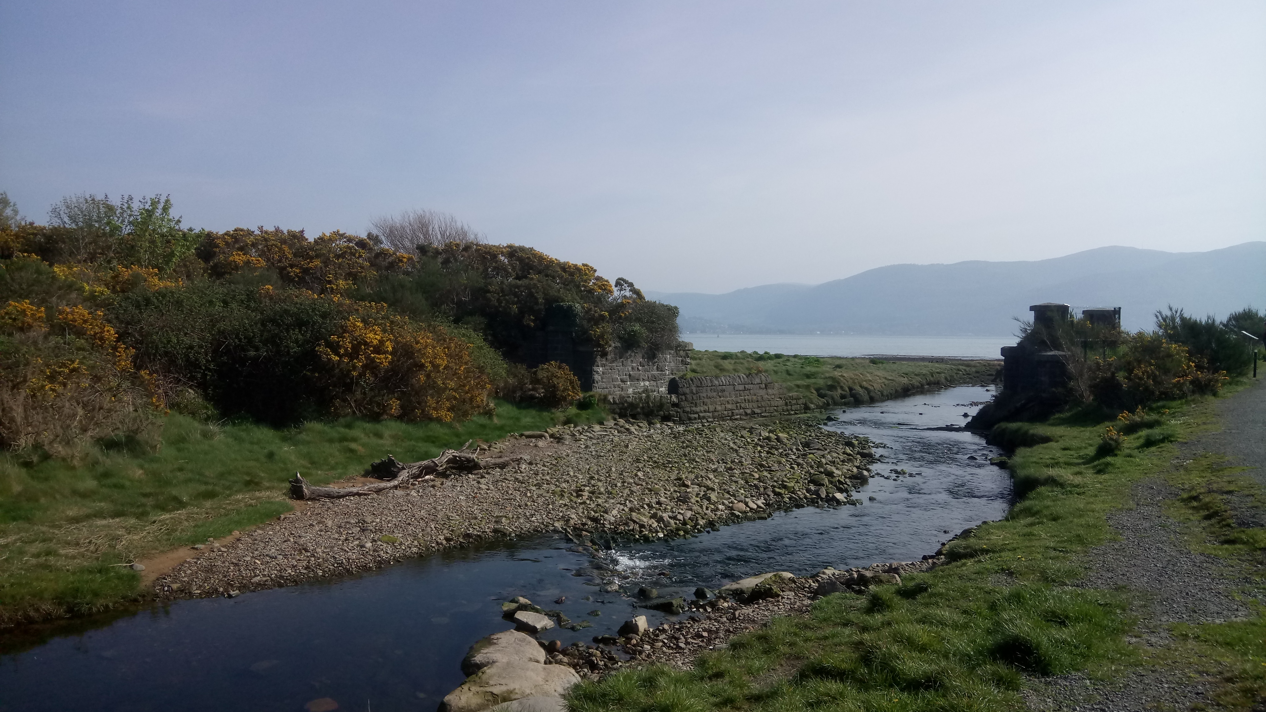
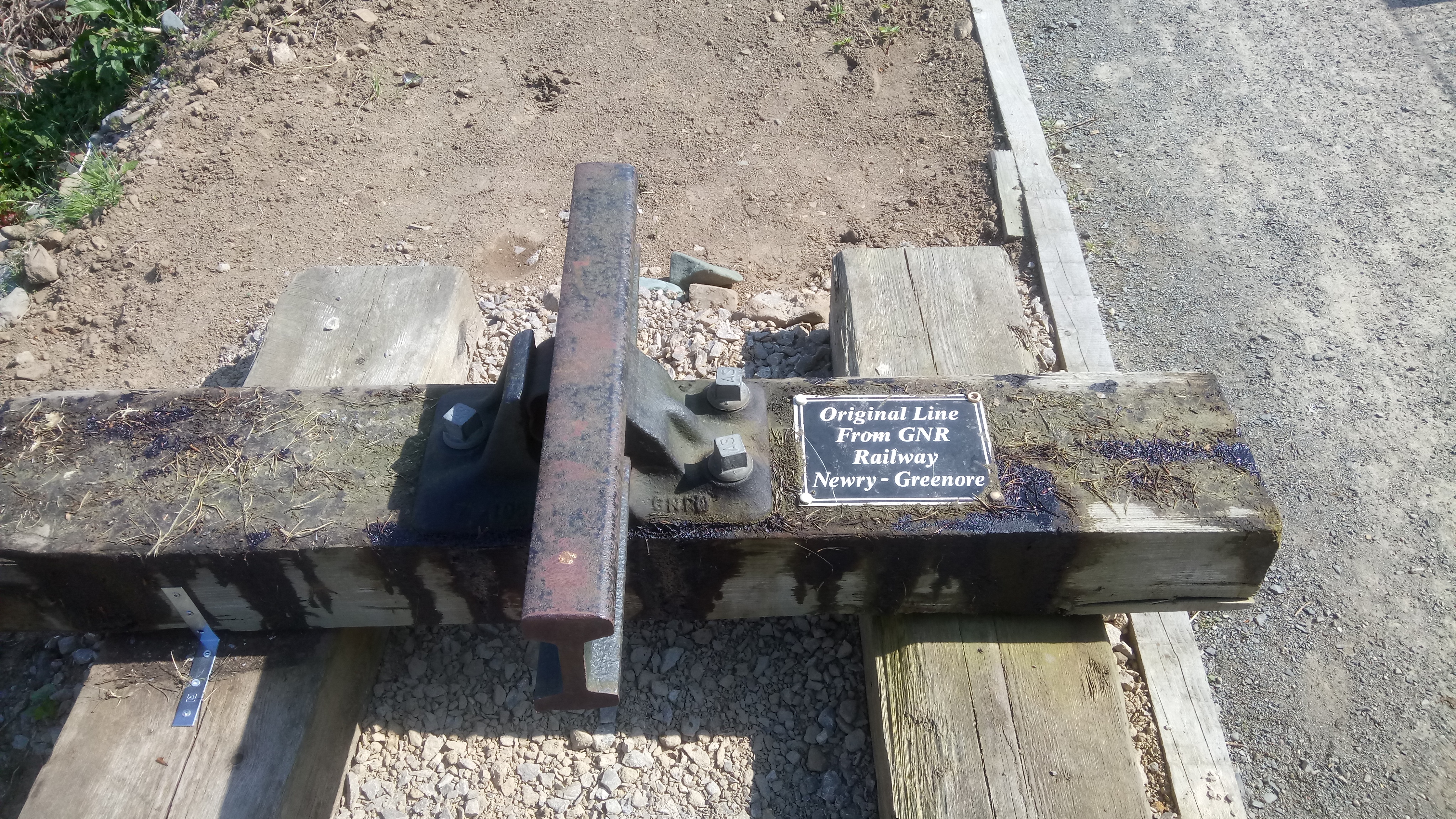
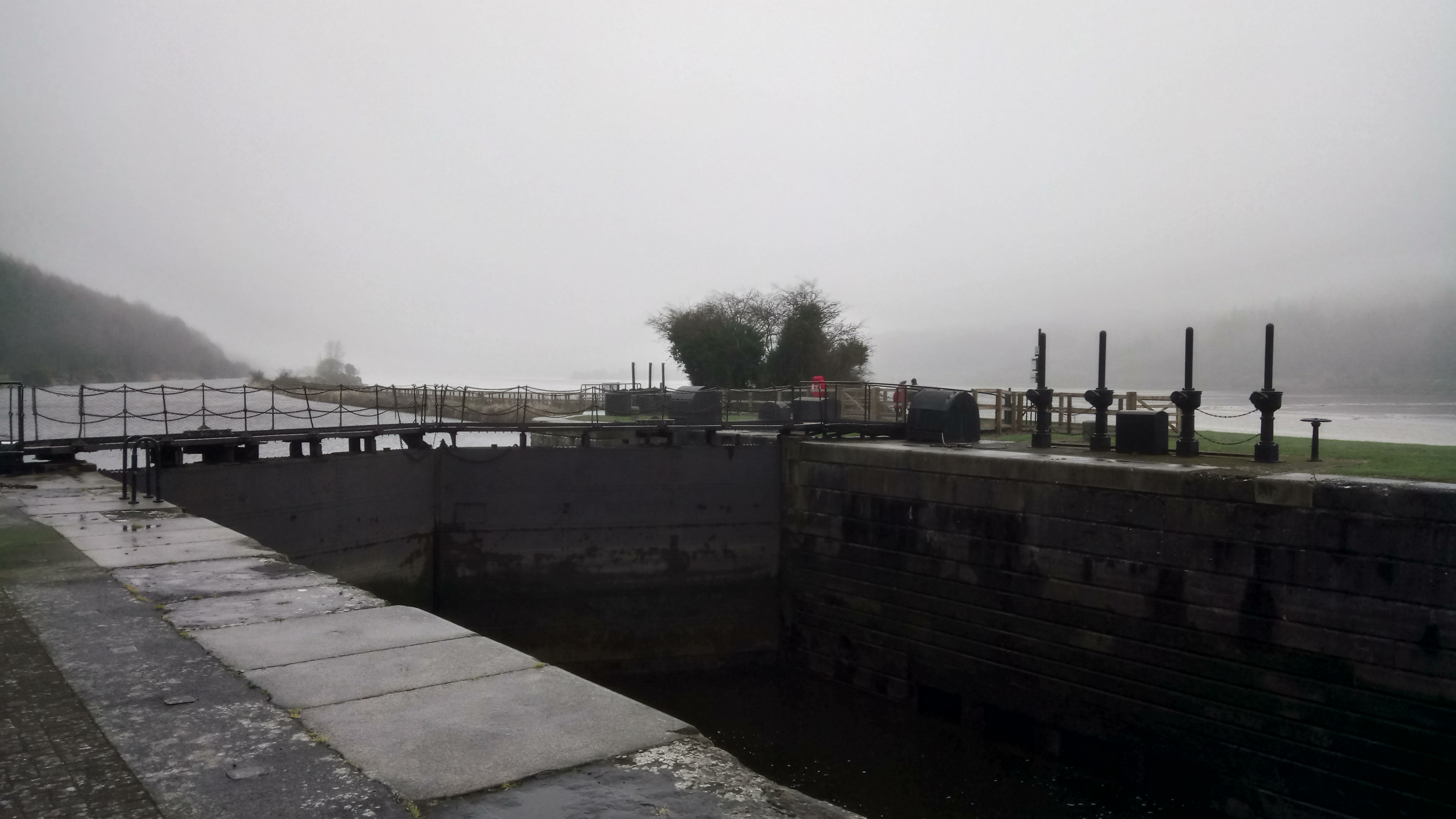
We started the walk in the village of Omeath. The Greenway is well marked from the car park at the shoreline. It follows a gravel or tarmac path which is, in fact, the embankment of a disused railway line and there are still many glimpses of the industrial history to be had.
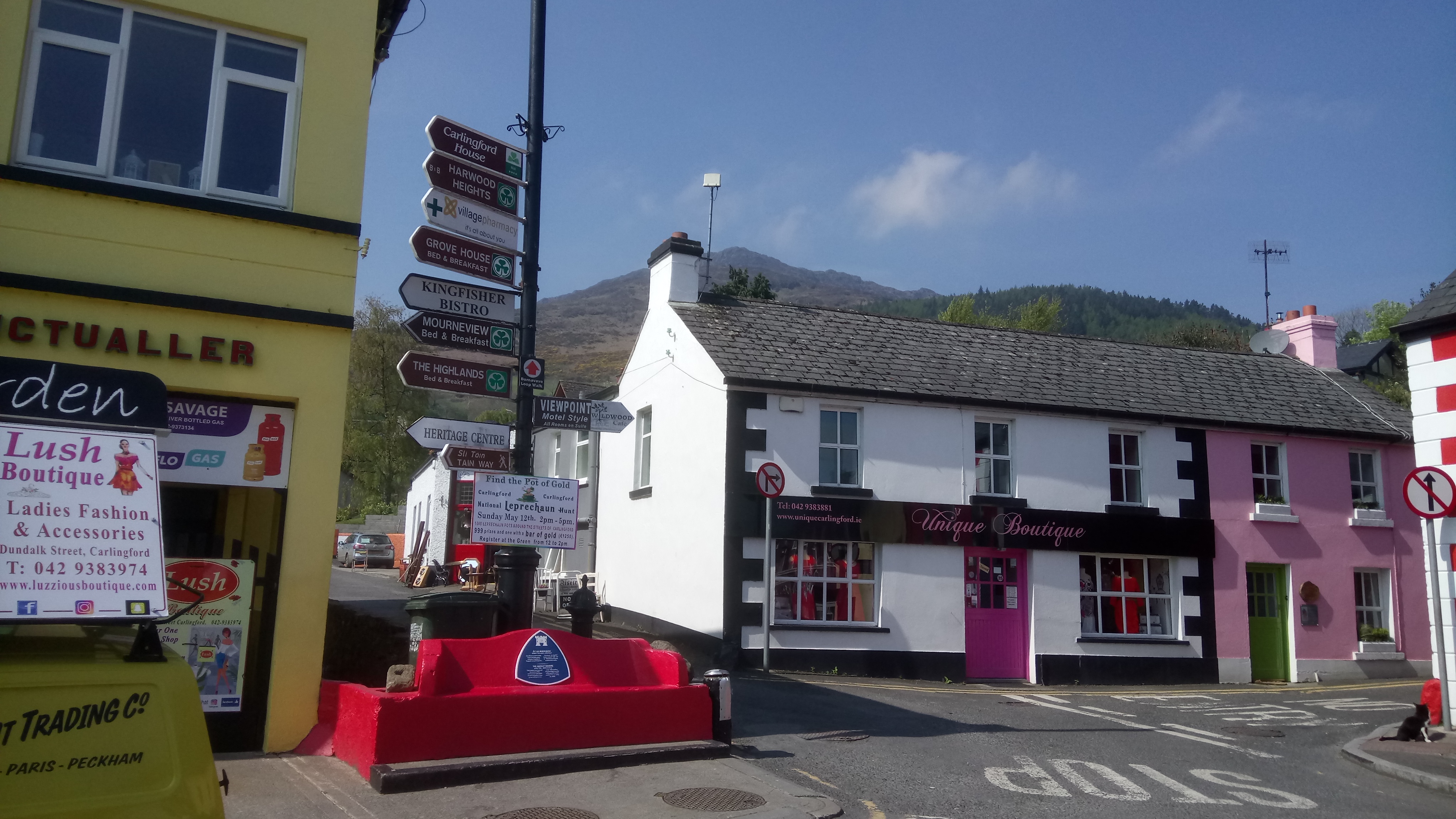
The Greenway rejoins the road just outside the town of Carlingford. Carlingford is a wonderful medieval town and well worth exploring. From the square, we followed the road straight up a very steep hill, signposted the Tain Way. At the crest of the hill, the tarmac road goes left and we went right heading back towards Omeath on a rough road, the Tain Way.
After roughly 3 kilometres the rough road joined a tarmac road and after just over 1 kilometre the tarmac road went sharp right back down to the main road.
We took the clear grassy track going straight ahead and after a kilometre, a stile and a steep descent we found ourselves back on the main road but very close to the Greenway again. This is a dangerous road and should be negotiated with care. However, we only needed to cross it and take a few steps to the right to find a path back onto the Greenway to complete the circuit back to Omeath.
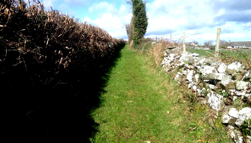
This is a lovely 10 kilometres walk on old grassy tracks and quiet tarmac roads. For a map and more statistics go to https://www.wikiloc.com/hiking-trails/saul-lough-money-raholp-circuit-a-st-patricks-day-walk-34234850 The walk is classified as moderate, however, be warned the old roads are subject to flooding after rain but doable in boots with gaiters or even water boots. It is a perfect walk for St.Patrick’s Day as there are so many connections with his life and times here over 1500 years ago.
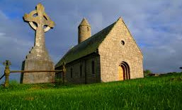
St. Patrick Memorial Church, complete with round tower.
We started in Saul grid reference 513465 on Discoverer Map Series 21, and parked at the famous old pub, Paddy’s Barn, another great slice of social history and an excellent spot to finish your walk. We walked due east, through the village on the Mearne Road and at the junction with St. Patrick’s Road we stayed right on the Mearne which is now marked as a cul-de-sac. After, roughly 500 metres we came to an old stone stile beside a gate which gave unto our first old road. We followed this for about 1
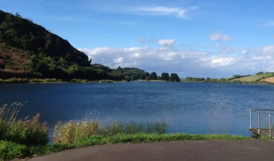
kilometre through several gates and stiles. At a clear intersection, we turned sharp left and climbed slowly uphill between old stone walls to several houses and then, straight ahead, downhill to Lough Money. We turned right here at a stile beside a metal fence and followed the fisherman’s path along the side of the lough to reach a car park on the Ballyculter Road.
Looking at the road, we turned left and climbed up to the crest of the hill to find an unnamed road on the left which runs along the other side of the lough. This road intersects with the Carrowvanny Road at a very distinctive large white house with outbuildings. We turned left here to complete the circumnavigation of the lough at
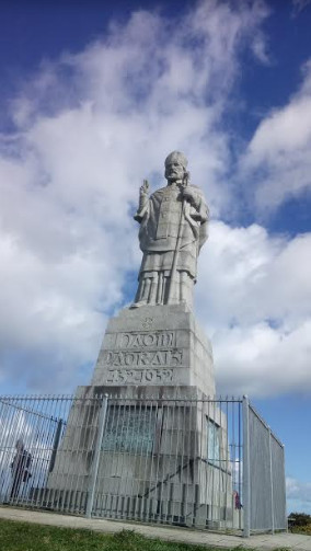
an old stone bridge. At this point, you can turn left and retrace your steps but, since it was St. Patrick’s Day, we decided to go right to reach the hamlet of Raholp and hence the statue and shrine of St. Patrick ( the biggest statue of St. Patrick in the world). There is a clear road which takes you through a collection of farm buildings, some in use some in ruins. Then, through a series of gates, on the left, to a gorgeous grassy track which brings you up and downhill to Raholp.
We turned left in the hamlet along St. Patrick’s Road for roughly 2 kilometres, ( there is a footpath) to reach the shrine to St. Patrick. It’s a steep climb to the top but it’s worth it if not for the enormous statue then for the great views. From here, it was an easy 1 kilometres walk back to the village of Saul to complete the circuit.
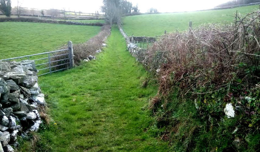
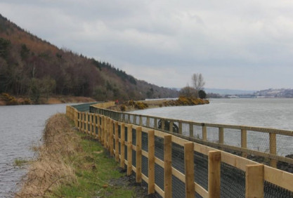
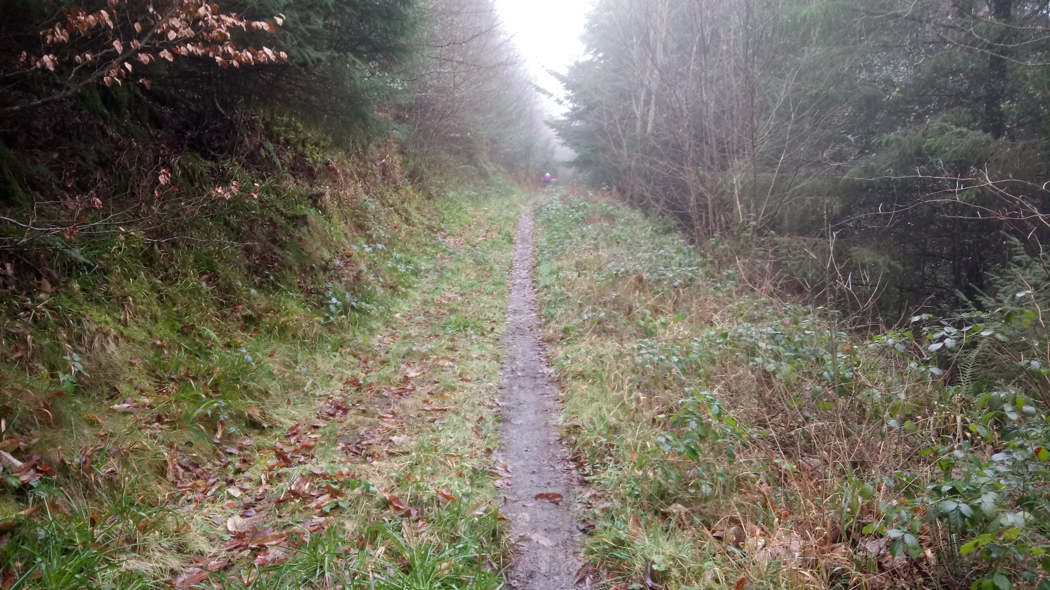
This is a lovely 14 kilometres walk along part of what will eventually be a splendid continuous cross border greenway path running from Newry through Omeath to Carlingford. This walk is circular and easy but maybe made moderate by a steady climb up Fathom Mountain. For a map and statistics go to https://www.wikiloc.com/hiking-trails/newry-canal-greenway-and-fathom-mountain-circuit-33476172
Start the walk in the centre of Newry at the Dublin Road Bridge. There is a convenient nearby carpark. The greenway is well signposted, it is a little industrial at the start by soon opens unto a wonderful vista between Carlingford Lough and Newry Canal.
When you reach Victoria Dock, cross the busy road with care and follow the signs for Fathom View. This is the start of the long steady climb up Fathom Mountain but it is a pleasant contrast to the canal. Pass a substantial white house and continue to zigzag up the mountain. Where the path levels out take a sharp right back towards Newry along a pleasant grassy track.
This track will bring you to a minor tarmac road, the Flagstaff Road. Turn right towards Newry and follow this road until you see a road closed sign on the right.
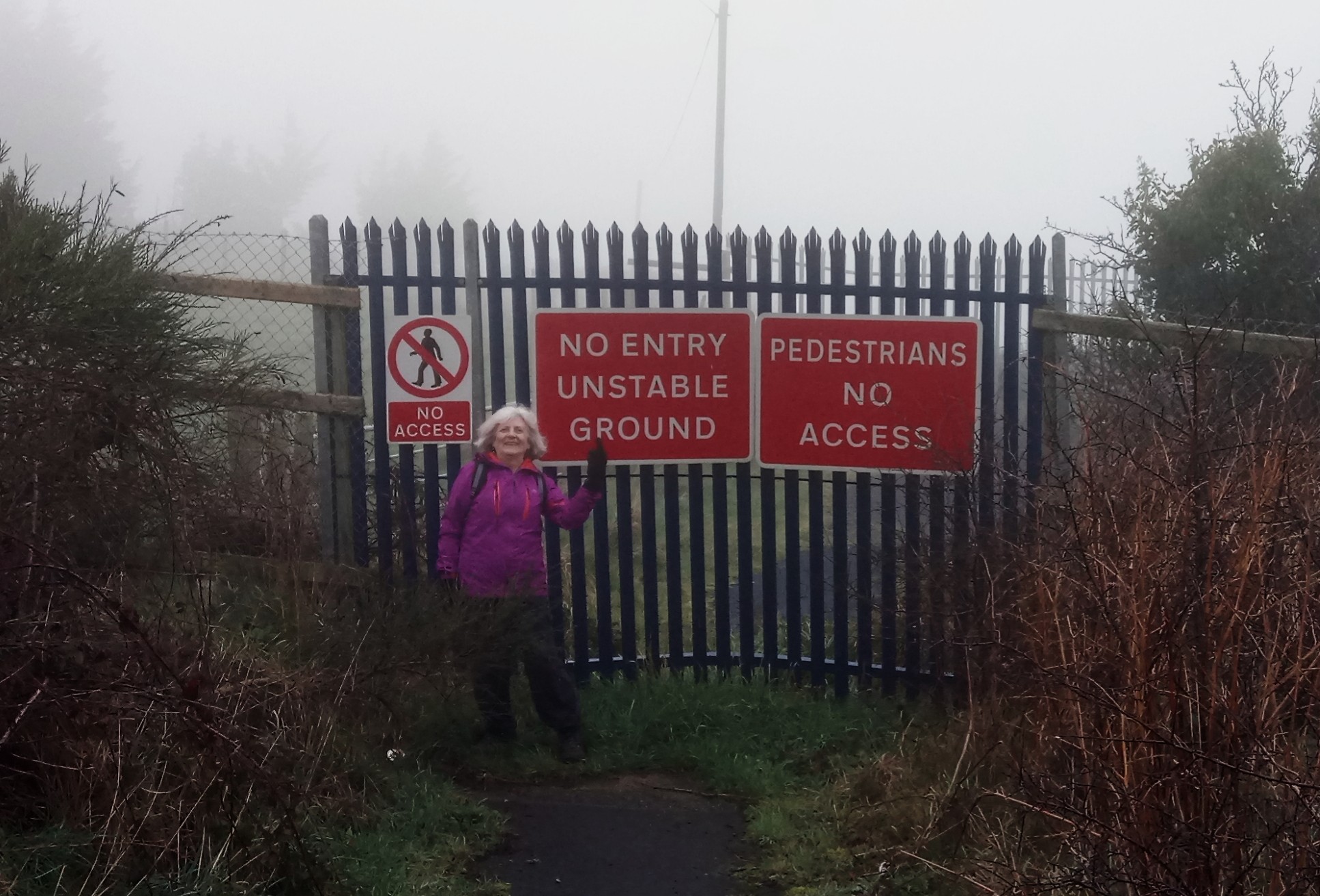
This is Hillhead Road. It was closed about ten years ago due to subsidence as a result of over-enthusiastic quarry activity. However, the local people assure me that they regularly walk around the barriers and there is a well-used track to prove it. Follow the Hillhead Road down to the Drumalane Road. Go left here and cut through the housing estate to reach Albert Basin, the canal and the carpark once again.
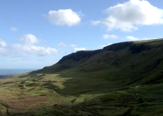
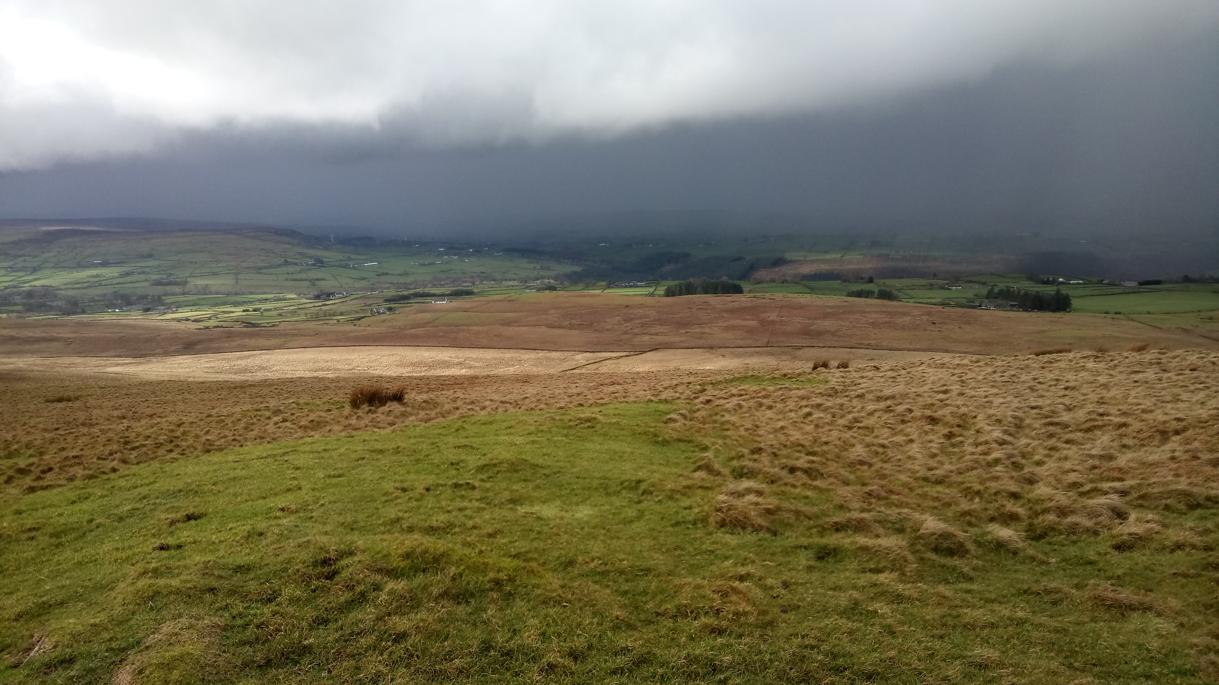
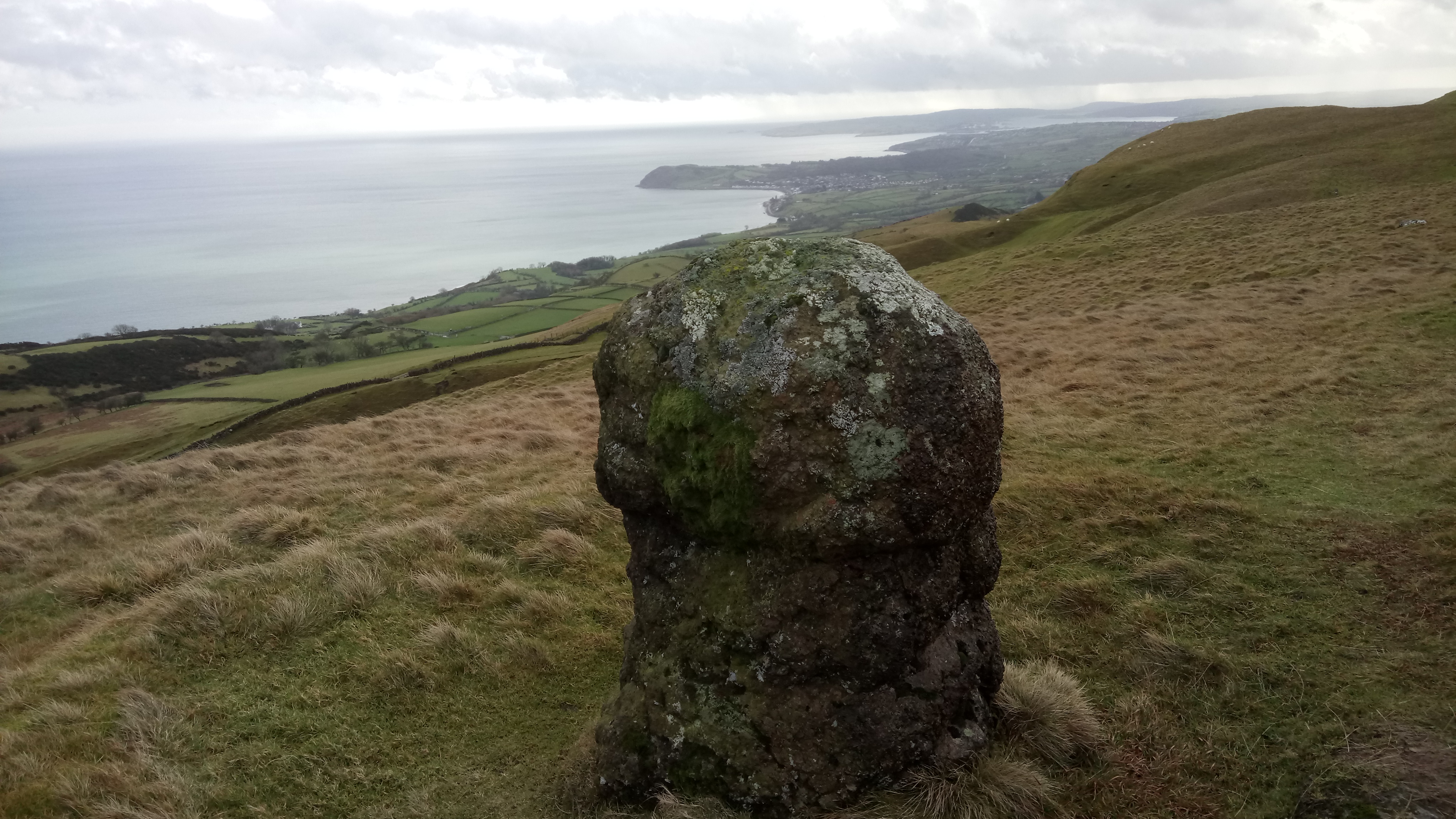
This is an easy 14 kilometres walk going out over open heathland on a rough grassy track and returning on a quiet tarmac road in order to make it a circular route. It is very well marked with white-topped posts and many reminders of Ireland’s ancient past including chambered graves, inscribed stones, flint mines and standing stones. This one of the first areas to be inhabited after the last ice age, some 9000 years ago. Knock Dhu itself is a bronze age (2000 B.C.) promontory fort recently excavated by the BBC television’s Time Team ( https://www.youtube.com/watch?v=1lmW3BUWpIM ), a fascinating watch revealing that a whole community lived here back in the day. For a map and statistics go to https://www.wikiloc.com/hiking-trails/knock-dhu-circuit-33234212#list-wp-card
Park in the small carpark above Cairncastle, Ballygalley, Larne, in the shadow of Knock Dhu, grid reference 333072 on Ordinance Survey Discoverer Series, Sheet 9. Directly across the road from the entrance to the carpark is a stile which gives access to the grassy track of the Ulster Way.
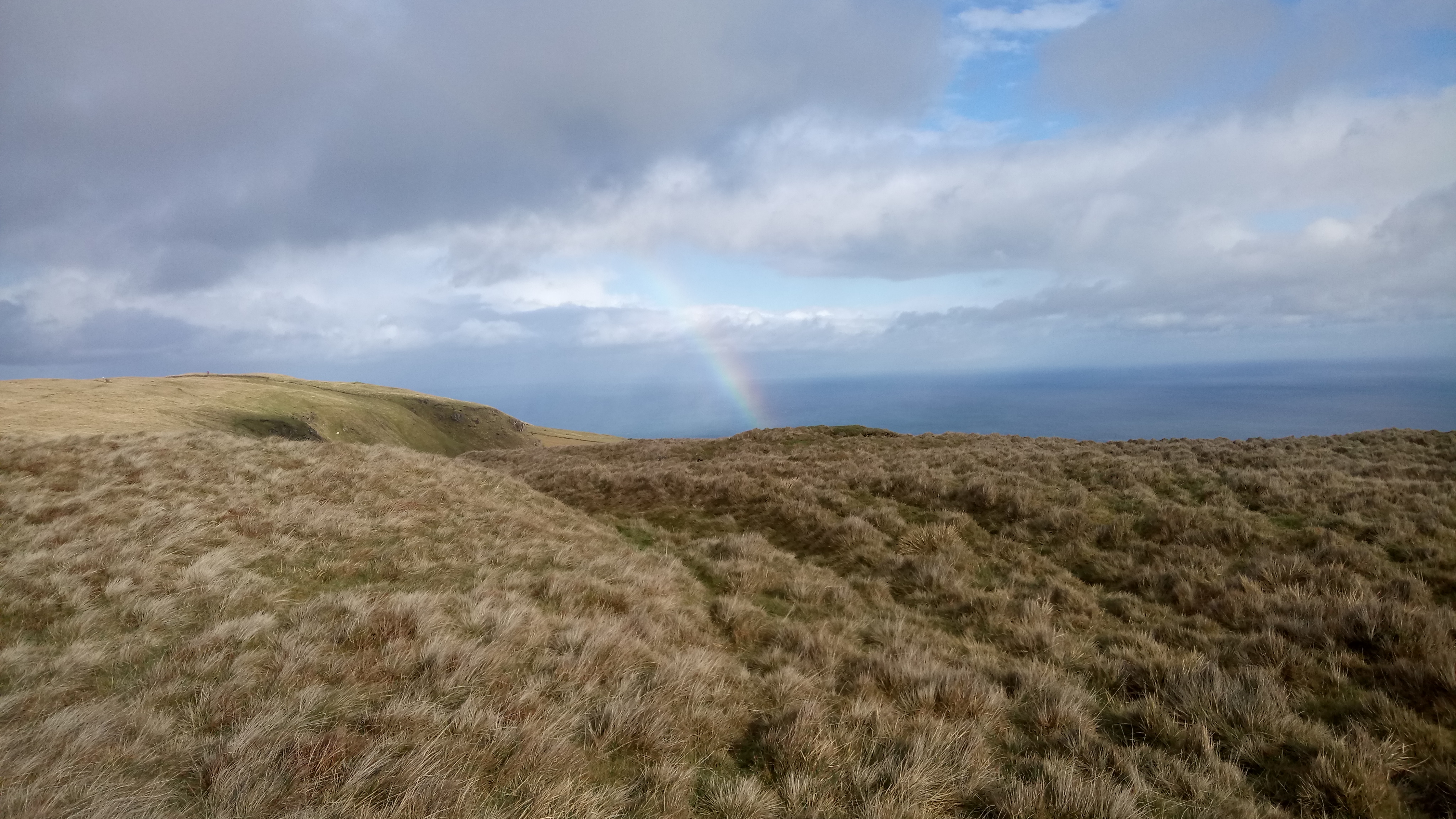
Follow the white-topped posts not only to avoid the boggy bits but also to find a series of stiles which cross the difficult but magnificent dry stone walls. It is not recommended to attempt the walk unless you can clearly see the markers. Follow the route to Ballycoos, Scawt Hill, Ballygilbert and the trig point at Black Hill. In this last section look out for a very knobbly standing stone, great views of Slemish of Saint Patrick fame and the Scottish coastline.
You will see from the map that, on our walk, we made a sharp left at this point, descending to the minor road. This was due to a sudden and hellish downpour, not uncommon in this exposed area. However, weather permitting continue to follow the posts to meet a minor tarmac road. A right will take you to Glenarm and left is the return route to the carpark through Feystown. This is a beautiful little road with very little traffic. It is worth bringing a copy of the ordinance survey map just to identify the chambered graves and inscribed stone to be found in the fields on the left. Keep left at the crossroads and drop back down to the carpark.
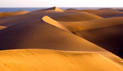
My friend Gary and I recently spent ten days in Gran Canaria. We stayed in Playa de Ingles, on the south coast of the island. Playa de Ingles is at the centre of six-kilometres of mass tourism stretching from Puerto de Morgán in the west to San Agustín and further in the east. Many people spend a very pleasant week or three here, leading a hedonistic lifestyle and following the tourist’s eternal triangle; bar, beach and bed.
This is a very beautiful area and the local people are extremely friendly. The climate is one of the best in the world, with temperatures between 18 and 25 degrees centigrade all year around. The beaches are stunning and no more so than around the dunes at Maspalomas. It does have an illusory quality and in fact, it is a purpose built tourist mecca dating back to the 1960s, built on what was virtually a barren though a gorgeous desert. However, an hours drive away into the mountains brings you to another world.
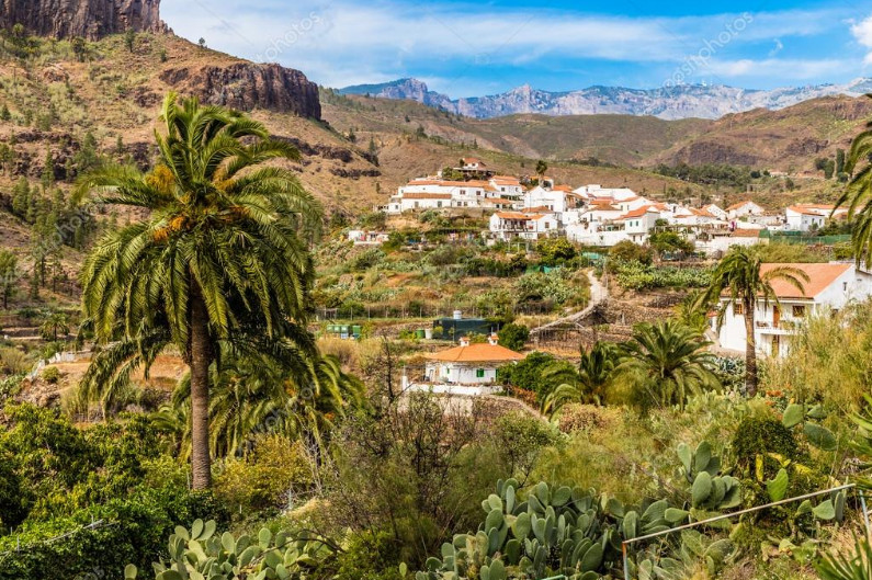
We took the road for the Barranco de Fataga, the biggest gorge in Gran Canaria which offers great walking opportunities. Further on, the village of Fataga gives a real taste of Canarian life and food.
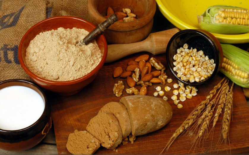
Climbing even higher it is hard to believe that the small town of San Bartolomé de Tirajana is the municipal capital of the south coast. However, if you consider that the resorts of Maspalomas and Playa de Ingles were literally invented in the 1960s, it makes more sense. People here make their living from farming, the almond being particularly important. Another taste of real Canarian life.
San Bartolomé stands on the site of a former Guanche settlement called Tunte, a name used by local people to this day.
Guanches were the aboriginal inhabitants of the Canary Islands. It has been recently confirmed that they are closely related to the Berbers of North Africa. It is believed that they migrated to the archipelago around 1000 BC or perhaps earlier.
After the Spanish conquest of the Canaries, they were ethnically cleansed by Spanish soldiers after a long and bloody struggle. Many famous battle sites are recorded and monuments erected to courageous Guanche warriors. Elements of their culture survive to this day, intermixed within Canarian customs and traditions such as Silbo (the whistled language of La Gomera Island).
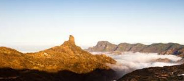
At 4,606 feet we reached Roque Bentayga a sacred site and refuge of the Guanches. Excavations have uncovered several groups of cave dwellings, together with granaries, cattle pens and burial sites. Some of the caves are painted with fertility symbols and this is where examples of ancient inscriptions can be found, not deciphered to this day.
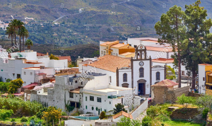
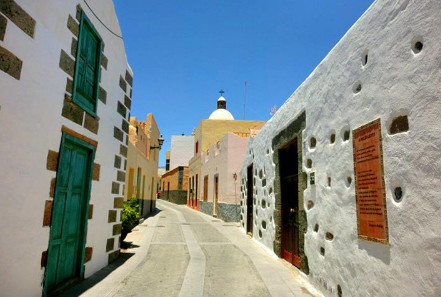
We left the land of the Guanches and drove southeast to reach the mountain village of Aguimes. Aguimes was founded in 1486, shortly after the conquest of the island. It has wonderful small streets and several bars serving good Catalan food.
This has been a very brief tour of Gran Canaria, not even touching on the capital Las Palmas. The fleshpots of Maspalomas may be a great place to relax and party till dawn but there is so much more to this island, it is a land steeped in history and culture.

 We continued our walk down Botanic Avenue and into the centre of the city to Ann Street in order to explore the entries running from Ann Street to High Street. These alleyways dating back to the 17th century are where the town of Belfast was born and first laid out. They serviced a dense residential and commercial development. We choose to walk along Joy’s Entry, originally named after Francis Joy the founder of the News Letter the oldest English language newspaper. However, the entry is now a celebration of the life and times of his grandson Henry Joy McCracken, the acknowledged hero of the 1798 rebellion.