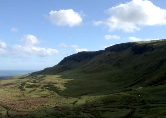
Knock Dhu
This is an easy 14 kilometres walk going out over open heathland on a rough grassy track and returning on a quiet tarmac road in order to make it a circular route. It is very well marked with white-topped posts and many reminders of Ireland’s ancient past including chambered graves, inscribed stones, flint mines and standing stones. This one of the first areas to be inhabited after the last ice age, some 9000 years ago. Knock Dhu itself is a bronze age (2000 B.C.) promontory fort recently excavated by the BBC television’s Time Team ( https://www.youtube.com/watch?v=1lmW3BUWpIM ), a fascinating watch revealing that a whole community lived here back in the day. For a map and statistics go to https://www.wikiloc.com/hiking-trails/knock-dhu-circuit-33234212#list-wp-card
Park in the small carpark above Cairncastle, Ballygalley, Larne, in the shadow of Knock Dhu, grid reference 333072 on Ordinance Survey Discoverer Series, Sheet 9. Directly across the road from the entrance to the carpark is a stile which gives access to the grassy track of the Ulster Way.
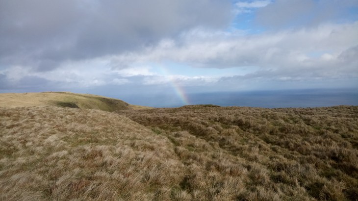
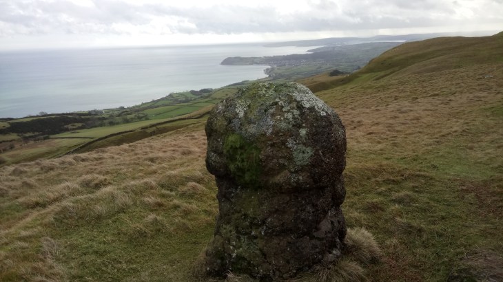
Follow the white-topped posts not only to avoid the boggy bits but also to find a series of stiles which cross the difficult but magnificent dry stone walls. It is not recommended to attempt the walk unless you can clearly see the markers. Follow the route to Ballycoos, Scawt Hill, Ballygilbert and the trig point at Black Hill. In this last section look out for a very knobbly standing stone, great views of Slemish of Saint Patrick fame and the Scottish coastline.
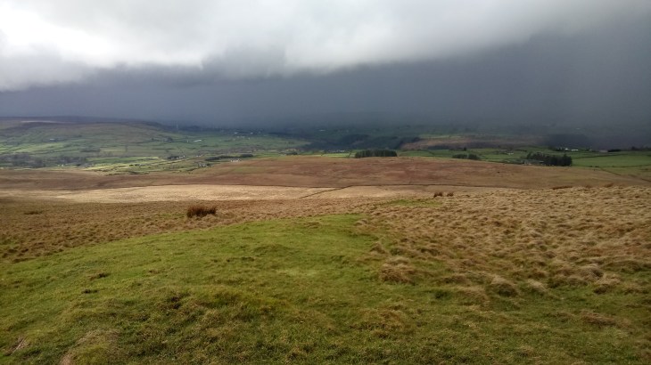
You will see from the map that, on our walk, we made a sharp left at this point, descending to the minor road. This was due to a sudden and hellish downpour, not uncommon in this exposed area. However, weather permitting continue to follow the posts to meet a minor tarmac road. A right will take you to Glenarm and left is the return route to the carpark through Feystown. This is a beautiful little road with very little traffic. It is worth bringing a copy of the ordinance survey map just to identify the chambered graves and inscribed stone to be found in the fields on the left. Keep left at the crossroads and drop back down to the carpark.

Thanks Dan. I had no idea about this walk, but plan to try it soon. 💛
LikeLike