This is a moderate 10 kilometres circuit on old roads and rough ground. For a map and statistics go to https://www.wikiloc.com/wikiloc/view.do?id=18725608
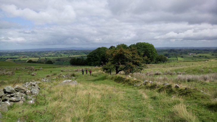
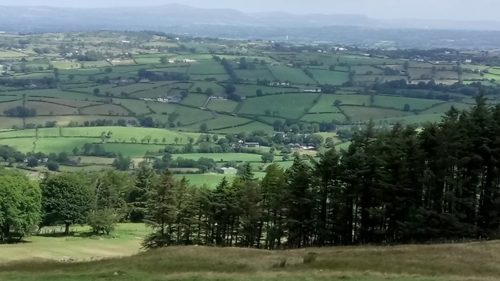
Slieve Croob is a rugged isolated little mountain situated in the northern part of the Mournes. Unfortunately, the summit is decorated with an array of communication masts but the views are magnificent, stretching from the Mournes to the Belfast Hills and Strangford to Lough Neagh. It is also famous as the source of the River Lagan which rises here as a mere trickle before making its mighty way to Belfast.
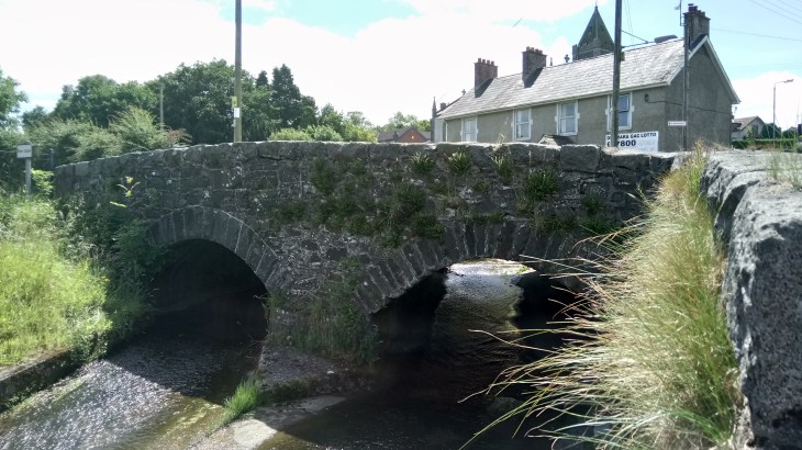
Start in the hamlet of Finnis which is about 2 kilometres outside Dromara, heading south on the B7. Take the Dree Hill Road and then shortly turn left onto the Drin Road. Follow this for just over a kilometre and then turn right onto Pass Loaning. The lane climbs up through gorgeous scenery and turns sharply right to a metal gate near…
View original post 123 more words

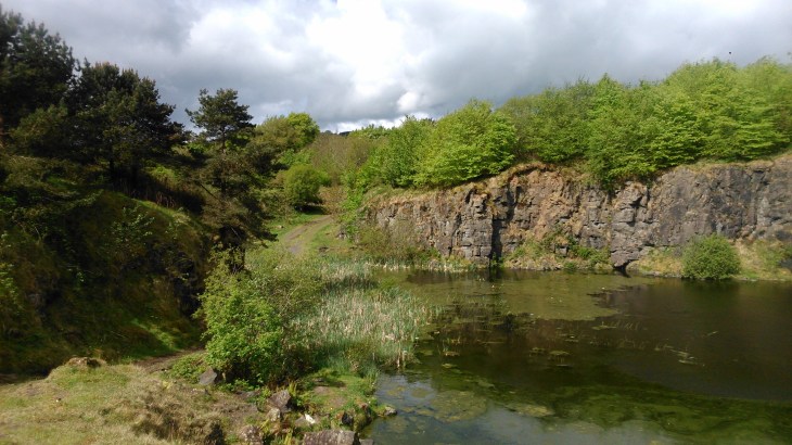
 There is little doubt about the benefits of walking for both mind and body. Colin Glen is easily accessible from Belfast city centre and boasts a whole range of walks from a short stroll on a well-marked path to an all day trek across the hills.
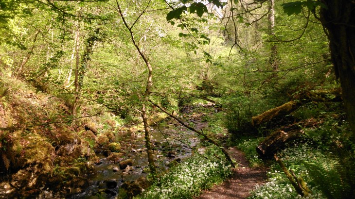
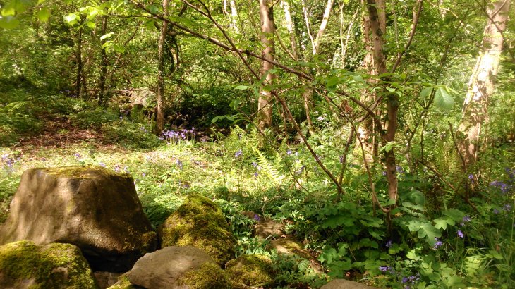
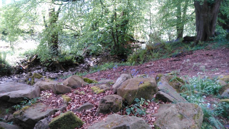
 a cleanup. We then followed a track on the other side of the glen through a sea of bluebells and even the occasional orchid to reach the mass rock. This route does involve
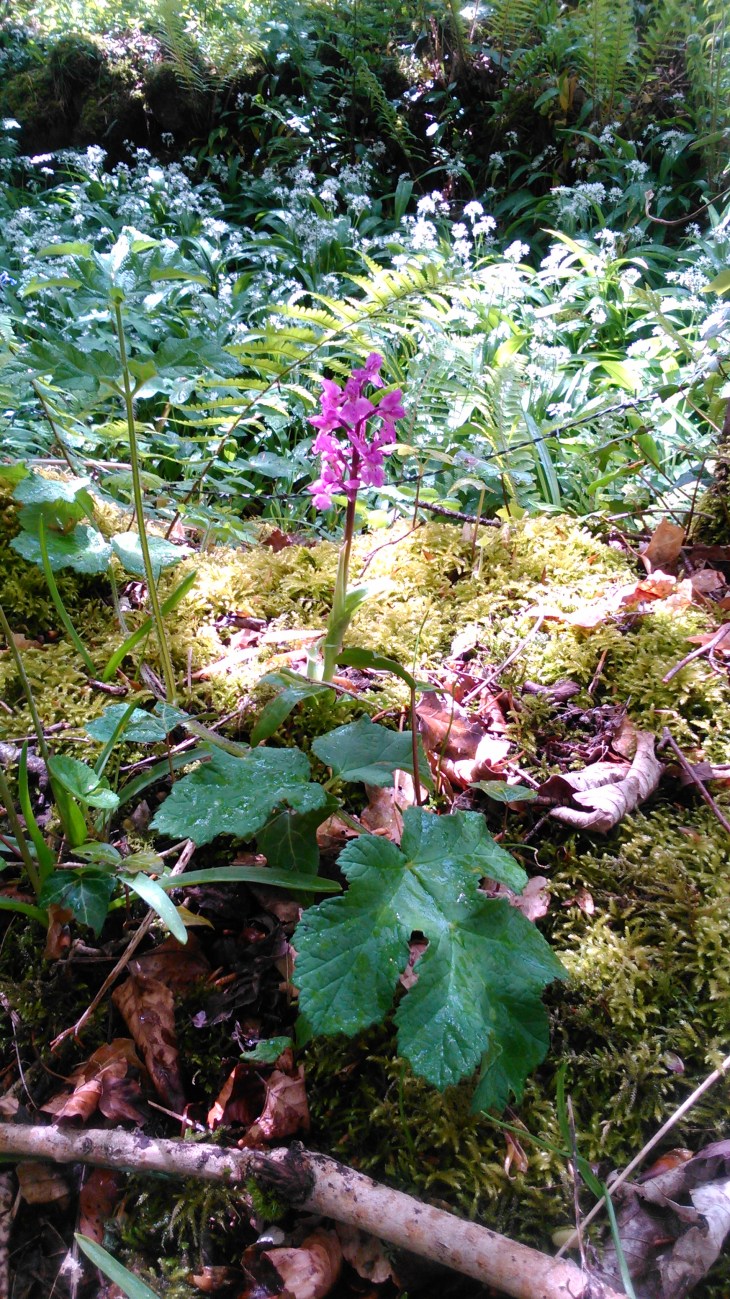
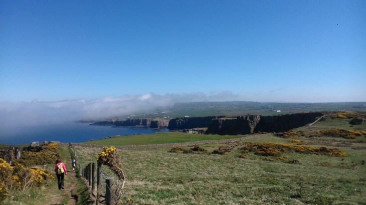
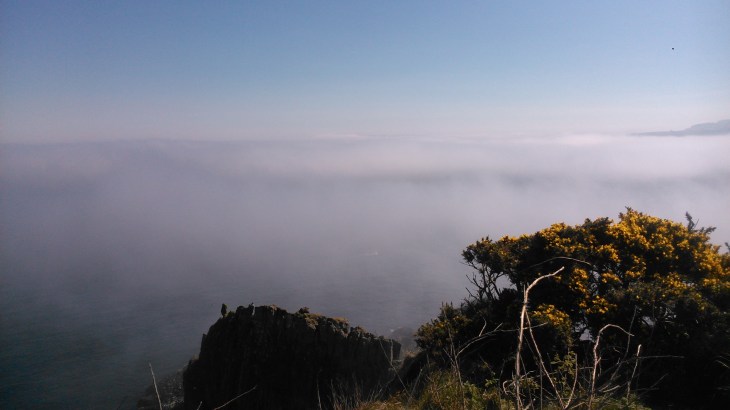
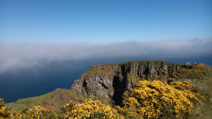
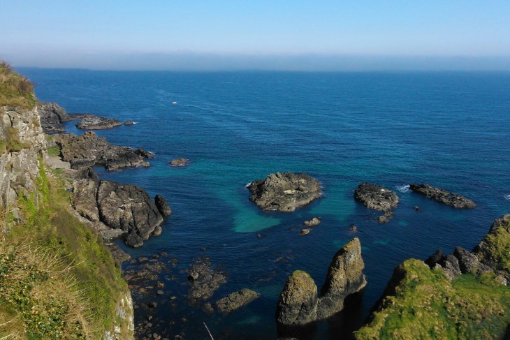 When the weather is good, as it was yesterday, this walk must have some of the most stunning views on the planet. It is 16 kilometres there and back and I would classify it as easy to moderate as there are some steep stone steps. For more information, a map and statistics go to https://www.wikiloc.com/wikiloc/view.do?id=17627538