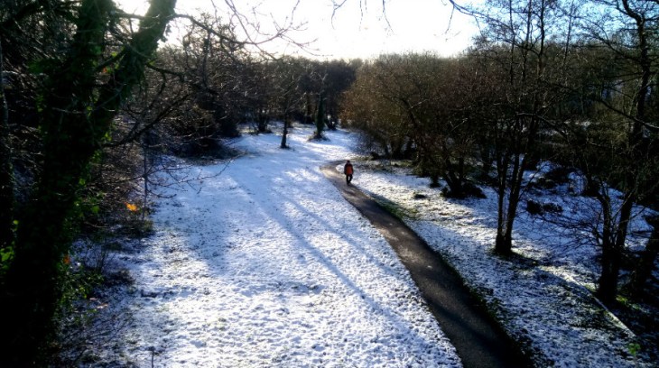
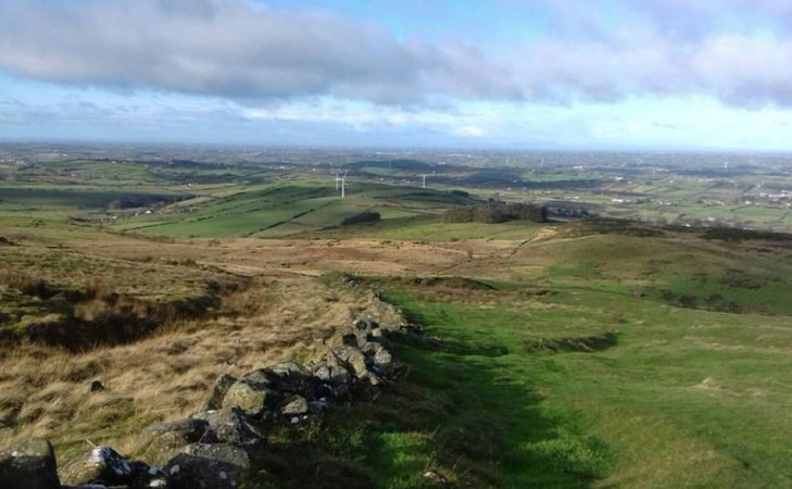
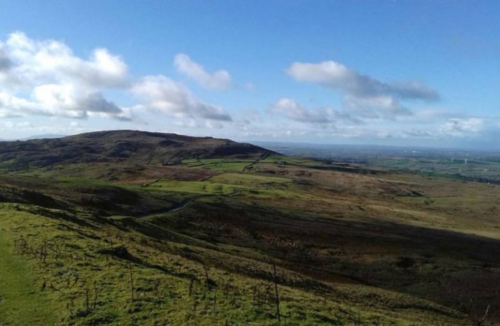
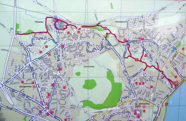
The Newtownabbey Way is another one of those hidden gems of Belfast, easily accessible by all forms of transport and perfect for a short walk, especially on a winters day. For a detailed map and statistics go to https://www.wikiloc.com/hiking-trails/newtownabbey-way-22586800.
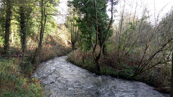
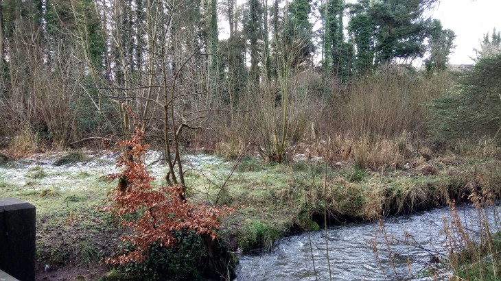
The Three Mile Water near Mossley Mill
The walk runs from Corrs Corner roundabout in Glengormley to Glen Park near the Lough Shore. It is equally delightful either way and on this occasion, we started at the small car park at Glen Park on the Glenville Road just off the Shore Road and near the Lough shore. It is almost traffic free save the occasional road crossing, is very well signposted and has stretches of great natural beauty as well as impressive reminders of our industrial past.
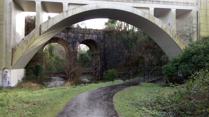
Bleach Green Railway Viaduct
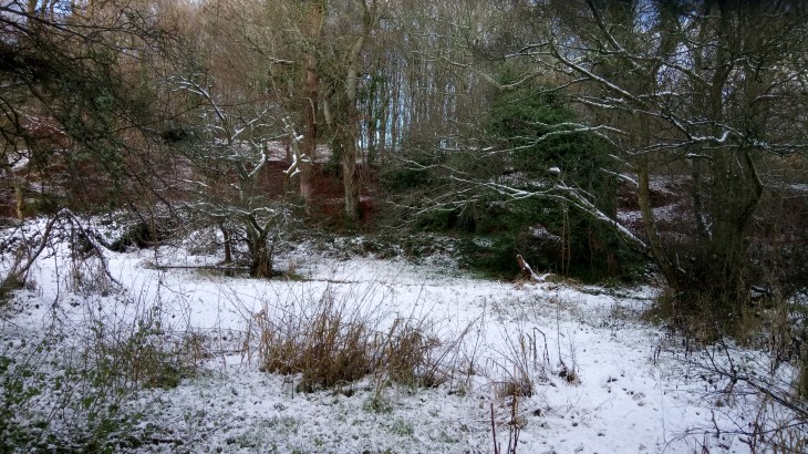
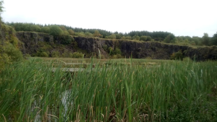
We followed the path until we reached the impressive Bleach Green Railway Viaduct. The Viaduct was completed in 1933 to allow trains to run between Belfast York Road Station and Ballymena without having to reverse at Greenisland. We passed under the Viaduct to reach the parkland and Monkstown Wood, managed by the Woodland Trust. Here you will find a mixture of habitats, including grassland, mature woodland and recently planted woodland. There are at least 15 species of young native trees, over 8,000 in total including oak, cherry, hazel, ash and rowan.
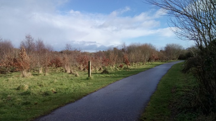
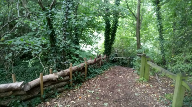
Monkstown Wood
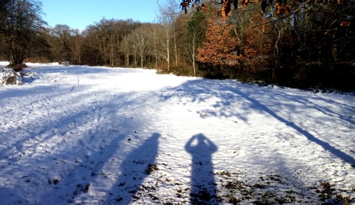
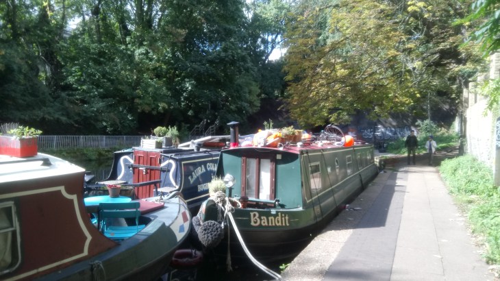
We continued through Monkstown Village, the way is well signposted, to reach the Three Mile Water Conservation Park.
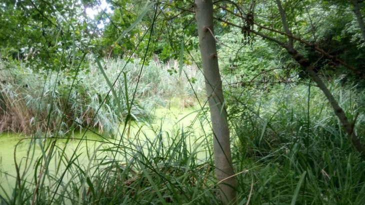
The Three Mile Water
There are many intriguing little sidetracks begging to be explored but on this occasion, we followed the main path as far as the Mossley Mill Civic Centre and returned along the same route.
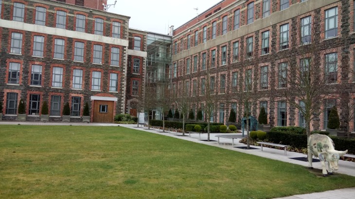
Mossley Mill Civic Centre
The Civic Centre is a former flax mill and was saved from demolition by Newtownabbey Borough Council in 1996. The restoration and the coffee are second to none and are both well worth a visit.
The Newtownabbey Way