This is an easy, 11 miles, circular walk on quiet roads and grassy tracks. A number of old laneways and field paths around Castlewellan have been cleared, improved and signposted by Down District Council as public footpaths and bridleways. They form a network that connects with main roads and minor roads, offering walks where you can leave the tarmac and cut across country away from the traffic. There are two loops which can be linked together to give an excellent day’s walk; one around Maghera, and the other around Burrenreagh and Burrenbridge. For a map and statistics go to https://www.wikiloc.com/hiking-trails/castlewellan-loanans-28470669 The map, in this case, shows the walk ending in Castlewellan but the description will cover the return leg to Maghera.
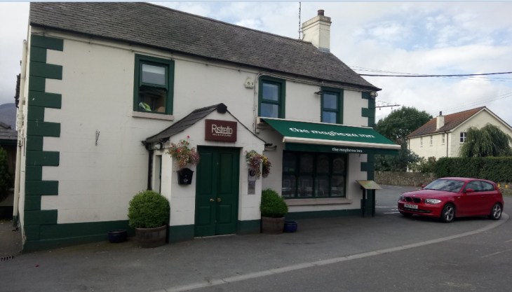
We started and ended the walk at the Maghera Inn on the Ballyloughlin Road between Dundrum and Newcastle OSNI Discovery Sheet 29. From the car park turn left and follow the Carnacavill Road, past the Mourne Archery Centre and shortly turn left again on Carrigs Road to find Maghera Old Church and Round Tower.
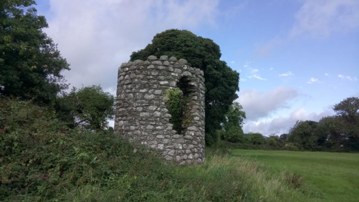
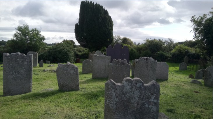
A green gateway on the left gives access to a Church of Ireland building but the ruins of a much earlier church lie behind together with an ancient circular graveyard and the stump of a round tower in a field nearby. These are the remains of a monastery associated with Saint Domangard, a fifth-century follower of Saint Patrick, from whom Slieve Donard derives its name.
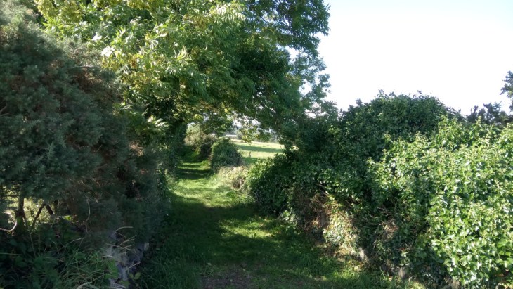
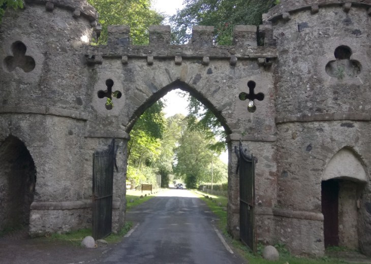
From here retrace your steps to the Carnacaville Road and turn left past Saint Joseph’s Primary School to shortly find a grassy bridleway on the left. This very pretty lane, Smiley’s Lane, will bring you to Church Hill. Turn right to find the main Castlewellan Road, cross the main road with care and follow Tollymore Road to Wild Forest Lane. Follow the lane to reach a white house on the left dated 1700, turn left here and follow another beautiful laneway to reach the Bryansford Road. Cross this busy road, again with care to find one of the impressive gates of Tollymore Forest Park.
Go straight down the magnificent, tree-lined driveway and turn right at the old stables. There are toilets here and nearby are picnic tables, a great spot for a lunch break. Leave Tollymore by the gates at the stables which open unto the Hilltown Road and the village of Bryansford. Cross the Hilltown Road and walk down the quiet Burrenreagh Road directly ahead. After approximately a mile veer left unto the even quieter Burren Road to enjoy excellent views of the Mourne Mountains.
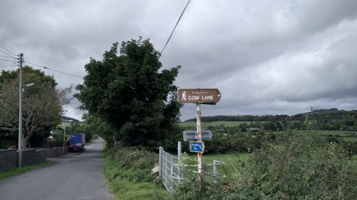
The Burren Road twists and turns past farms and houses to reach a well-marked public footpath on the right. This is another grassy track which will bring you uphill to some old farm buildings, an empty house and a corrugated iron shed. Go right here and downhill unto the Upper Burren Road. Turn left to shortly find another public footpath on the right leading you steeply downhill to the Lower Burren Road. Turn left and follow the Lower Burren Road to Cow Lane on the right.
There is no obvious path, simply cross the field to reach a small gated bridge, cross the bridge and veer right to find yet another small bridge, cross this to find a steep stile leading you to a grassy track, then a tarmac street which will bring you into Castlewellan.
Castlewellan is a beautiful old town and well worth a visit even for a cup of coffee. It owes its street plan to William Annesley who bought the village in 1741 and redeveloped it. The courthouse, now the library dates back to 1764. From the Courthouse walk around Upper Square to find Circular Road. Walk along Circular Road past the community centre. After approximately a mile, the road narrows, Circular Road goes sharp right but keep straight on up Bunkers Hill. Just here at an old farmhouse you will notice a sign for a public footpath, ignore this and continue straight on for a couple of hundred yards to find another sign pointing you up to the left past the gable end of a grey house. Turn right at the top and enjoy another beautiful old road with splendid views. There is an intersection at a large white house, keep left here and then later go left an right past the occasional ruined building to reach the Carnacaville Road. Turn left to reach the Maghera Inn again.