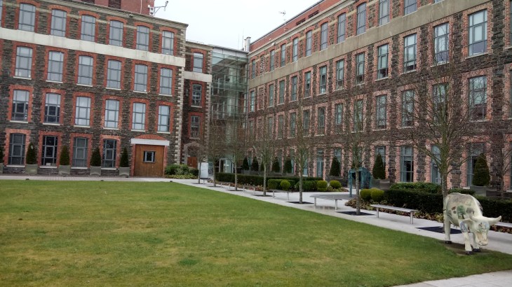
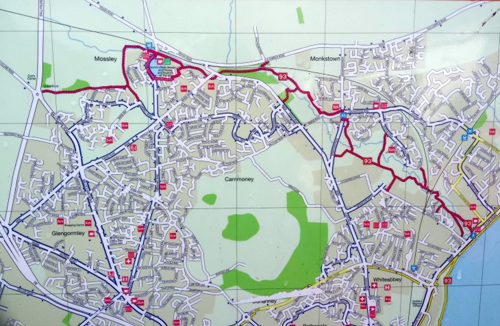
A circuit of Cavehill is another great Belfast walking option. It is easily accessible from the city centre by public transport. For a map and statistics go to https://www.wikiloc.com/hiking-trails/cavehill-circuit-22734223
Cave Hill is a basaltic hill 370 metres high and forms part of the southeastern border of the Antrim Plateau. It is distinguished by its famous ‘Napoleon’s Nose’, a basaltic outcrop which resembles the profile of the famous emperor Napoleon. Historically known as Ben Madigan, which is derived from the Irish Beann Mhadagáin, meaning “Madagán’s peak”—so named after a king of Ulster called Madagán who died in 856AD.
Cave Hill is also thought to be the inspiration for Jonathan Swift’s Gulliver’s Travels. Swift imagined that the Cave Hill resembled the shape of a sleeping giant safeguarding the city.
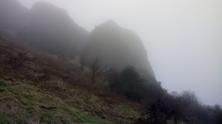
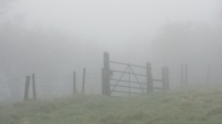
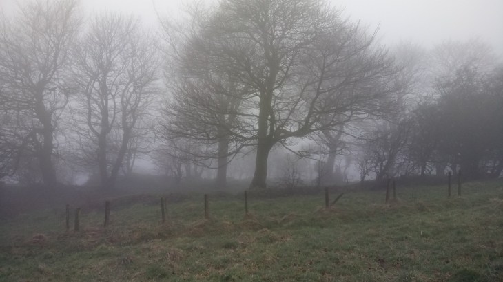
As you can see from the images this was more of a Bram Stoker/Dracula rather than Jonathan Swift class of a day. However, walking in the mist has it’s own mindful pleasures. You are certainly not distracted by those gaudy but gorgeous views of the city.
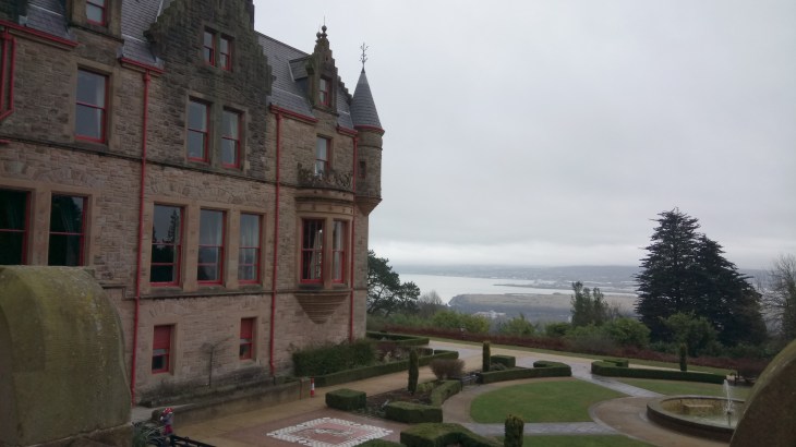
Begin at the interpretative panel in the car park just before the entrance to Belfast Castle and find the route marked Cavehill circuit. Follow this path through the woodland, through the trees, climbing up to a plateau.
Continuing on, take the next path on your left. This skirts around the Devil’s Punchbowl passes below the largest cave before veering to the right. At the time of writing, there is no access to the cave as there has been a recent landslide. Follow this path as it climbs steadily up the hill.
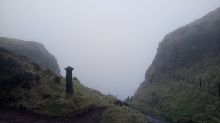
Continue climbing up the steps to a cattle grid and fence, at the top veer to the left and follow the grass path to the top of the hill and McArt’s Fort.
This fort, on the summit of the hill, is an example of an old rath or ring fort, a circular enclosure surrounded by an earthen wall: used as a dwelling and stronghold in former times. It is protected on one side by a precipice and on the others by a single ditch. It is believed that the fort’s inhabitants used the caves to store food for the winter and may have served as a refuge during times of attack. This was also a meeting place of the United Irish Men in the eighteenth century. Lots to think about as you swim ever onwards through the mist.
Continue downhill taking the next lane on your left. This leads down past the top of Carr’s Glen and carries on for some distance before reaching the Upper Cavehill Road. Go down the footpath a short way and take the path to the left. Climb over the ridge and descend into Belfast Castle Estate. Return to the starting point by means of the footpath up the main driveway.